Tag: GIS

Michigan Tech Faculty Build Connections with the Next Generation of Researchers in Suriname

A close-up shot framing a person’s hands holding up two soil samples for comparison during a field excursion workshop in Suriname.
Michigan Tech faculty presented workshops on tropical forest management, conservation practices, and ethical research practices to students in Suriname this February—the second phase of a U.S. Embassy-funded grant project in the region. (All photos courtesy of the “Enhancing Academic Linkages and Research Capacity in Suriname” project)

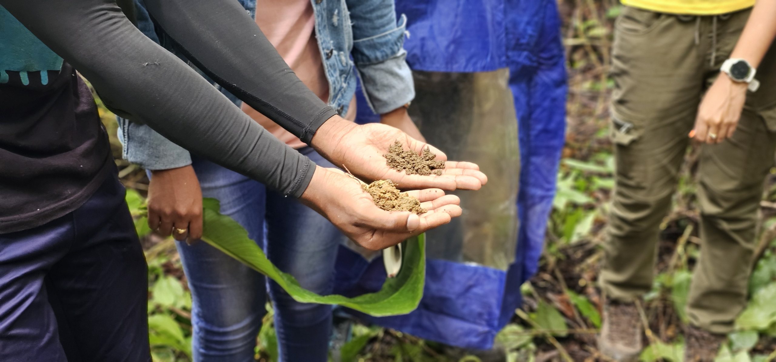
This February, Michigan Tech faculty traveled to Suriname to build connections and help train the next generation of scientists and researchers. Their trip was phase two of the U.S. Embassy-funded grant project focused on fostering sustainable development and promoting ethical research practices in the country. Suriname is also the home country for Wayne Gersie, Michigan Tech’s vice president for community engagement and professor of practice in the Department of Psychology and Human Factors in the College of Sciences and Arts. 

New Assistant Professor in Remote Sensing/GIS Spatial Analysis

Isabella Mariotto

Join us in welcoming Dr. Isabella Mariotto to the School of Forest Resources and Environmental Science.

Dr. Mariotto has filled the position of Assistant Professor in Remote Sensing/GIS Spatial Analysis. Mariotto’s areas of expertise include, remote sensing and GIS spatial analysis and modeling, hyperspectral remote sensing of vegetation, remote sensing of aboveground Carbon storage, biodiversity, food security, and evapotranspiration from Energy Balance models. Isabella has a Ph.D. in Ecology (Remote Sensing and GIS) from New Mexico State University and completed her postdoctoral scholarship with University of Arizona and the US Geological Survey.