Updated with a map 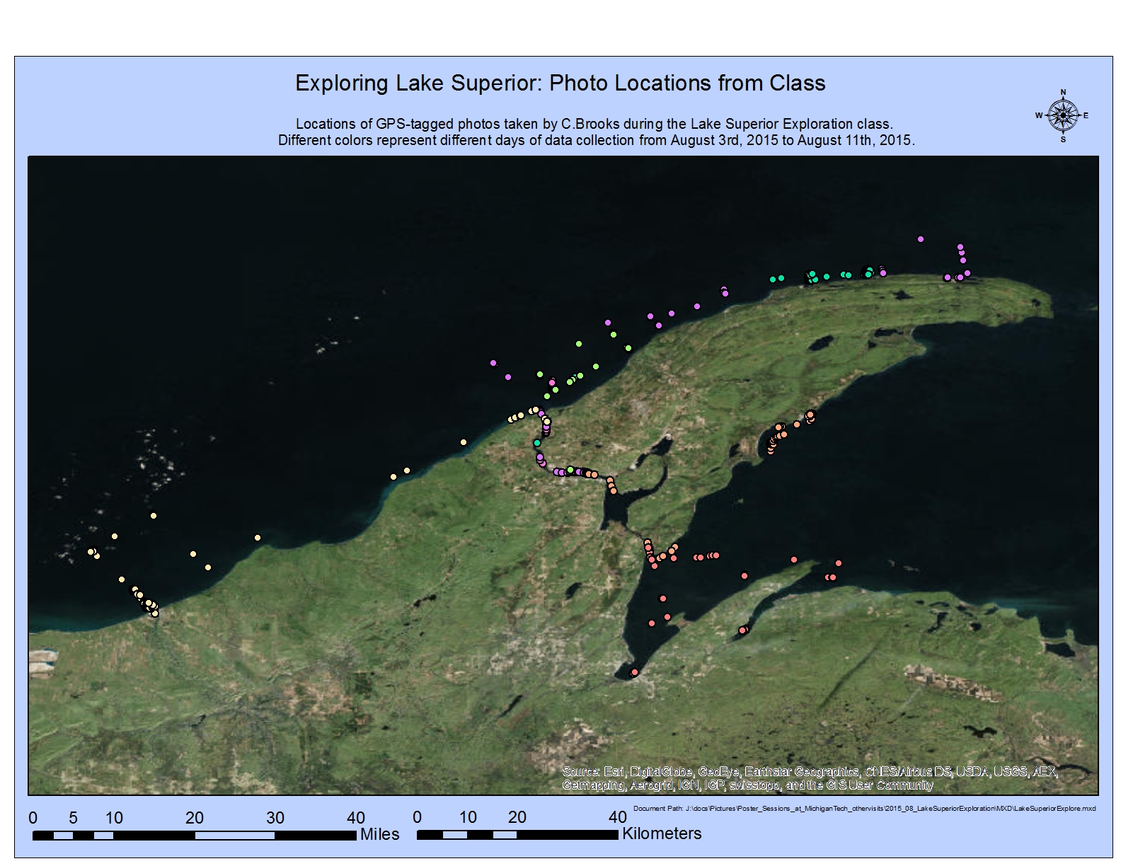 showing the GPS locations for the pictures taken by Colin Brooks. Each color represents a different day; each dot indicates the GPS location that Colin’s GPS linked camera recorded. They covered a lot of water!
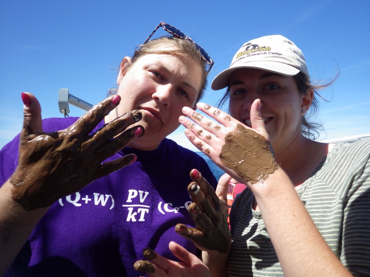
See photos from the BL5421 course Lake Superior Explorations on the GLRC Flickr page.
Also see the list of YouTube videos including aboard the research vessel as well as underwater footage.