Tag: College of Forest Resources and Environmental Science

Tech Disruptions, AI-Driven Revenue, and Wildfires: Why Hybrid Technical Skills Matter Now More Than Ever

Hybrid technical skills, such as those used in GIS and urban planning, are increasingly in demand in the workplace.

On Feb 21, 2024, Change Healthcare—a main medical clearinghouse for United Healthcare Group—was hit by a ransomware attack that crippled electronic payments. Change Healthcare handled 15 billion dollars of claims annually. How did this attack happen? By exploiting a lack of industry-standard multifactor authentication on a legacy server, hackers took down a large chunk of United’s Healthcare system while compromising the health data of nearly 190 million Americans.

As a result, hospitals couldn’t process prescriptions or bills, forcing patients to pay out-of-pocket. This incident led to $100 million of daily losses for healthcare providers, supply-chain uncertainty, and an eventual federal investigation. The fallout exposed the shortage of cybersecurity professionals who can protect infrastructure while navigating the regulatory risks of healthcare data systems.

Old legacy systems were almost the downfall of online ticket vendor TickPick as well. In 2024, the company lost millions when its outdated fraud system blocked legitimate big-ticket purchases. For instance, someone buying high-value $20,000 Super Bowl tickets might be flagged as suspicious. As a fix, TickPick adopted Riskified’s “Adaptive Checkout.” This AI-powered fraud-detection system uses risk assessments to approve, decline, or flag transactions for verification. It helped TickPick recover three million dollars in revenue in only 90 days. The main point: online businesses require professionals who can strategically apply AI while balancing security, customer experience, and profit.

It’s not only healthcare and old legacy systems in need of employees with flexible, data-driven skills.

Fast forward to September 2024 and California’s Bridge Fire. This fire burned through 55,000 acres, threatening communities in San Bernardino County. Emergency crews used advanced GIS mapping tools to track fire spread, analyze terrain, and coordinate evacuations, saving both lives and property. As climate-driven disasters increase, the ability to interpret spatial data and translate it into actionable plans is more crucial than ever.

What Are Hybrid Technical Skills?

These three incidents, though seemingly disparate, highlight the increasing need for hybrid technical skills.

If you haven’t heard the phrase “hybrid technical skills,” the term originates from discussions in workforce development, education, and labor economics—especially since the early 2000s. The concept, a response to changing demands in the modern labor market, describes the fusion of technical (hard) skills and non-technical (soft) skills.

In short, hybrid technical skills comprise a blend of domain expertise (such as business, cybersecurity, and environmental science) with communication, digital literacy, and applied knowledge that cuts across industries.

People with these in-demand skills can understand the technology while speaking the language of strategy. For instance, if you’re a problem-solver with hybrid technical skills, you might not be coding AI models from scratch. But you know how to select the right tools, interpret data outputs, and apply them to diverse problems. You’re not solely a coder or an analyst—you’re an integrator, a translator. You know how to apply the right technology to solve the right problem.

For example, in the workplace, an employee with hybrid technical skills might be a

  • business analyst who can leverage AI models to optimize workflows
  • forester who can analyze GIS data to support conservation efforts
  • security professional who understands both network vulnerabilities and organizational risk
  • healthcare cybersecurity expert with compliance and regulatory knowledge

Workplace Demand for Those with Hybrid Technical Skills

To put it another way, hybrid technical professionals are the translators between advanced technologies and real-world impact. And you can tap into the demand for them, which is definitely soaring.

Cybersecurity professionals are equipped with hybrid technical skills.

MTU’s Newest Programs Help Fill the Hybrid Technical Skills Gap

Whether you want to defend digital infrastructure, leverage AI to drive smarter business decisions, or use GIS to protect natural resources, Michigan Technological University’s latest online graduate programs offer targeted, flexible pathways to equip you with hybrid technical skills for making that transition.

Why choose these programs?

  • Take 100% online programs designed for you, the working professional.
  • Learn from expert faculty with real-world experience.
  • Earn stackable credentials. Or choose to move on to an advanced degree.
  • You can apply for FREE and skip the GRE and GMAT.

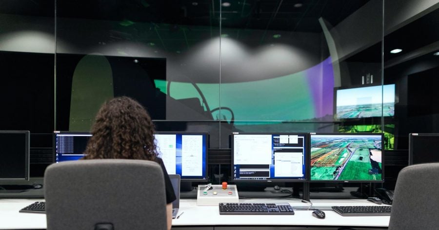
Online MS in Cybersecurity

Cybercriminals are growing increasingly savvy and destructive. And cybercrime damages are expected to hit $10.5 trillion annually by the end of 2025. Therefore, adaptable cybersecurity professionals are in high demand across industries. Along with ransomware, cybersecurity professionals must be ready to battle Advanced Persistent Threats (APTs), Phishing and Social Engineering, Zero-day attacks, high-profile data breaches, DDoS attacks, and many other types of cyber crime. The changing nature of cyber threats also requires organizations to continually improve their defenses and adapt to new attack vectors.

Cybersecurity professionals work in defense, finance, government, healthcare, and manufacturing. With MTU’s online master’s degree in cybersecurity, you can prepare you for several roles, such as security analyst, risk manager, cyberoperations specialist, cybersecurity architect, cybersecurity manager, cybercrime analyst, and more. And in this program, you can also earn a certificate in the Foundations of Cybersecurity along the way.

Need more details? Want to take a closer look at this program? Attend our virtual information session on Thursday, Sept. 18, 2025.

Online Graduate Certificate in Artificial Intelligence in Business and Information Systems

Artificial Intelligence is obviously not just for tech companies anymore. In business and information systems, AI can accelerate predictive analytics, identify patterns, trends, and correlations. All of these tasks can help businesses make detailed forecasts. Artificial Intelligence, then, adds “smart” capabilities. That is, instead of just collecting information, an AI-enhanced system can learn from data, spot patterns, and even make decisions or recommendations.

With Global Campus’s online certificate in AI in Business and Information Systems, you can bring advanced AI skills to decision-making, project management, and operations. This 3-course credential is ideal if you want to lead AI transformation projects, bridge business and technical teams, and advance into product and leadership roles. It also gives you the expertise to transition into careers, such as AI strategist, business intelligence analyst, or digital transformation lead. You can also apply these credits towards an Online Master of Business Administration.

Online Graduate Certificates in Advanced GIS and Remote Sensing

With climate change and land management in the spotlight, advanced GIS skills are becoming critical. To meet this demand, Global Campus previously rolled out the Online Foundations in Geographic Information Science Certificate in 2024. Joining it in 2025 are two new certificates for natural-resource professionals: Advanced GIS and Remote Sensing.

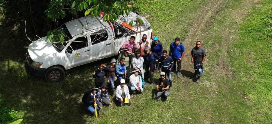
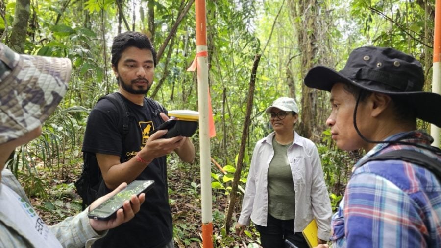
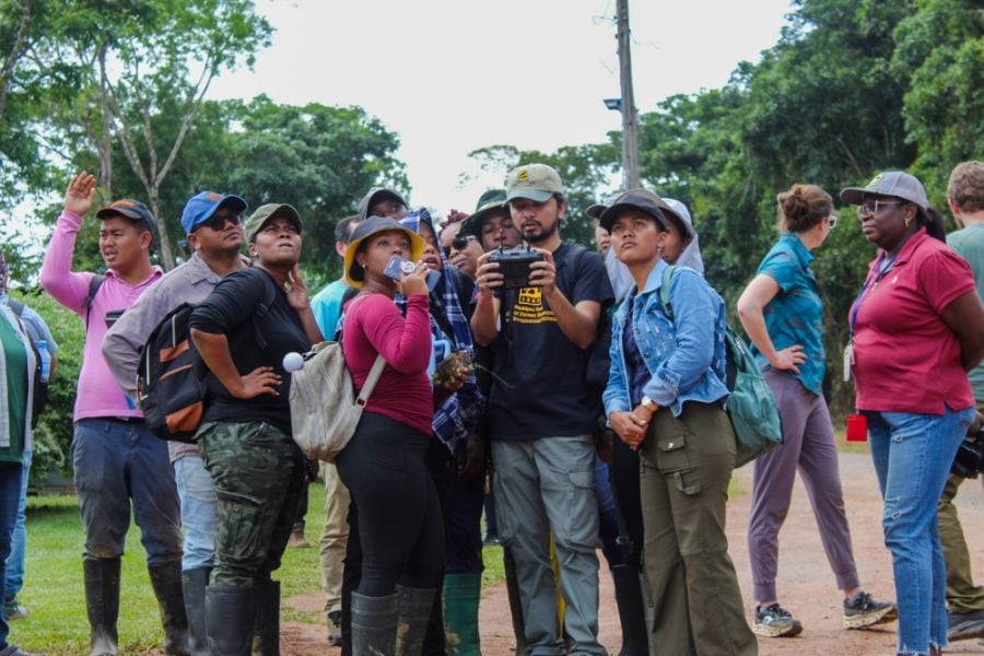
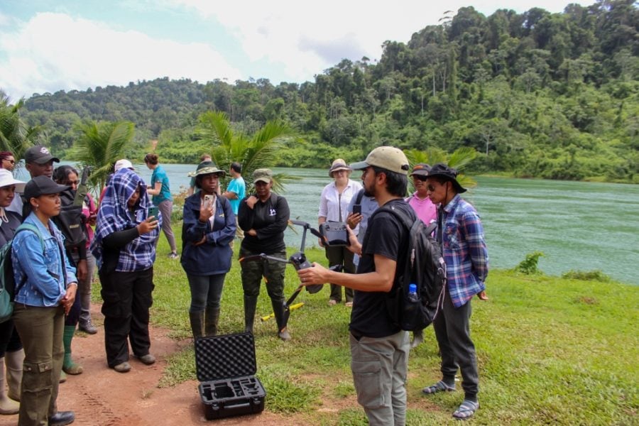
In the Advanced GIS certificate, you will master sophisticated GIS concepts and methodologies, which are central to analyzing large and complex datasets, automating routine geospatial workflows, and effectively managing geodatabases. You’ll also get exposure to designing, executing, and communicating comprehensive geospatial projects. Remote sensing, the process of collecting information from the Earth’s surface and atmosphere without making physical contact is the focus of the second certificate. As a GIS professional, you’ll need to combine remotely sensed data with ground-based research to provide timely, accurate, and spatially extensive information that allows them to plan, predict, model, and make decisions.

All these GIS certificates empower you with hybrid technical skills for addressing real-world challenges, delivering innovative solutions, and excelling in professional and industry-level geospatial roles. They give you career choices: preparing you for roles in environmental consulting, forestry and land use planning, and emergency management and disaster response.

Upskill for the Careers of Tomorrow—Starting Today

From ransomware attacks to wildfire mapping to AI-driven business strategy, the workforce is facing a major skills gap. And as a professional with hybrid technical skills, you could be there to fill it. Several organizations are seeking flexible employees who blend tech fluency, critical thinking, communication skills, and domain-specific expertise. They want employees who can connect digital tools to business goals, apply AI in strategic decision-making, interpret cyber threats through an operational lens, or leverage GIS systems for environmental analysis.

Whether you’re looking to switch careers or elevate your current role, Michigan Tech’s Global Campus gives you the tools to lead in a world defined by data, systems, and strategic decision-making. These previously mentioned programs, though, are more than credentials—they’re launchpads for meaningful, future-ready work. And don’t forget our other flagship program that prioritizes hybrid technical skills: the Online MS in Applied Statistics.

We’d love to connect with you and have a conversation about one of these programs. Global Campus has a committed, knowledgeable admissions manager, Amanda Irwin. Amanda is available to help you evaluate programs and to find the right fit for you. She’s also adept at answering tough questions and helping people navigate the application process.

And don’t forget: applying online is free. And you don’t require GRE or GMAT scores, either.

MTU’s GI Science Program Promotes Data-Driven, Yet Inclusive Solutions

Bringing GI Science to Suriname

Dr. Parth Bhatt, Assistant Teaching Professor/Researcher from the College of Forest Resources and Environmental Sciences (CFRES) breathes and lives Geographic Information Science. In fact, Bhatt, a team of researchers, and other MTU representatives recently returned from Suriname, South America. There, they led an immersive, 3-day workshop in Forest Field Research Methods at Anton de Kom Agricultural University’s Centre for Agricultural Research (CELOS). 

Suriname, endowed with vast tropical rainforests and rich biodiversity, faces several pressing technological, environmental, and socio-political challenges. And the country’s geographical features also make it vulnerable to the effects of climate change, such as those of severe flooding and storms.

There are also the more obvious human-made damages to Suriname’s delicate ecosystem. Between 2019 and 2022, in fact, artisanal and small-scale gold mining (ASGM) increased by 47%. This growth led to significant deforestation and environmental degradation. As a result, the region lost approximately 25 square kilometers of rainforest. Suriname’s remoteness further complicates regular data collection, hindering effective policy development and environmental protection efforts.

Exacerbating these issues is a serious skills gap. That is, Bhatt acknowledges that “a major challenge [Suriname] faces is a shortage of highly trained professionals to help manage and preserve these resources effectively. Strengthening educational and research collaborations can help bridge this gap by providing expertise in conservation, remote sensing, and sustainable resource management.”

In Suriname, Parth Bhatt and the rest of the team tried to bridge this gap. For instance, while he was there, Bhatt led workshops on the use of drones for collecting geospatial data in the country’s rainforests. This hands-on experience with UAVs (Unmanned Aerial Vehicles) exemplifies the benefits of applying emerging technologies in natural resource management.

Ongoing Challenges in Geographical Information Science

Most obviously, these workshops demonstrated how Geographic Information Science provides approaches for managing natural resources. To Bhatt, though, “remote sensing are more than just tools—they’re gateways to understanding our world in ways that truly matter.”

Bhatt’s online certificates, through CFRES, certainly help with this understanding. In fact, their coursework addresses the complexities of applying GI Science to natural resource management in the US, Suriname, and beyond.

As an example, let’s take Dr. Bhatt’s inaugural online certificate from Michigan Tech Global Campus: Foundations in Geographic Information Science for Natural Resources.

GI Science Challenge #1: Working with Variable Data Sets

Data sets often vary in resolution, format, projection, and accuracy. This point is especially true when researchers combine historical data with newer sources (e.g., satellite vs. drone). Because of variations in data, it is often difficult to model ecosystems reliably. Or to make consistent decisions across jurisdictions or even time spans.

Furthermore, when it comes to geospatial information, there are additional difficulties with handling the volume, variety, and velocity of data. GI Scientists must contend with a stream of heterogenous data from sensors, satellites, smartphones, and social media. And they must collect and streamline this data while also creating real-time data analytics and visualizations.

GI Science Challenge #2: Contending with Uneven Data Quality and Uncertainty

To complicate things further, geographic data often come from multiple sources. Researchers must juggle information from satellites, GPS, surveys, user-generated content (e.g., OpenStreetMap), and government records. And each source may differ in accuracy, resolution, update frequency, and metadata standards, leading to uneven quality and results. For instance, combining high-resolution satellite imagery with outdated census data might produce misleading results in land-use change analysis.

There is also the problem of uncertainty and inconsistency in spatial data. This problem is especially tricky when boundaries or attributes are interpreted subjectively (e.g., informal settlement boundaries). And inconsistency in quality can result from human error, different measurement techniques, and varying classification systems.

Classification, for instance, is variable. Organizations, datasets, and researchers might categorize geographic features differently, even when referring to the same types of objects or areas. For instance, one land-cover dataset might classify land according to “forest,” “urban,” “agriculture,” and water. Another might use these categories: “deciduous forest,” “coniferous forest,” “low-density urban,” “high-density urban,” and “irrigated cropland.”

FW5550 (Geographic Information Science and Spatial Analysis)

Some of the course’s key topics address these challenges.

  • Metadata Standards and Quality Assessment. FW5550 emphasizes understanding metadata, particularly their provenance, processing, and reliability.
  • Spatial Data Models and Structures: Students learn how different types of spatial data (raster vs. vector, continuous vs. discrete) are structured, so that they can recognize the limitations and strengths of each. This skill is crucial when merging data from multiple sources that have inconsistent formats or resolutions.
  • Data Integration and Overlay Analysis: Combining datasets from multiple origins is stressed. The course addresses inconsistencies in classification systems, temporal mismatches, and spatial resolution. It also covers practical techniques of reclassification, resampling, and transformation.

GI Science Challenge #3: Collecting Data in the Field

Gathering data in the real world is definitely messy. Thus, another challenge is ensuring the collection of accurate, up-to-date, and context-sensitive data collection while in varied environments. Researchers must contend with several obstacles, such as poor signal in forests, variable terrain, or multipath interference.

Multipath interference is a common and important source of error in Geographic Information Science, particularly in GPS/GNSS data collection. This problem occurs when a GPS signal bounces off surfaces (buildings, water, terrain, dense forest canopies) before reaching the GPS receiver. This interference then causes delays and inaccuracies in position calculation. (If you’ve ever run in a dense forest with a Garmin watch that beeps out an impossibly fast 6-minute mile followed by an annoying slow, 13-minute one, you’ve experienced this phenomenon.)

In other words, collecting data in the real world means recognizing environmental context, positional accuracy, and uncertainty. Therefore, researchers must understand how to quantify and mitigate locational error in spatial datasets. This need is especially true of data in high-precision applications, such as autonomous navigation. Drones used in forest-fire management, for instance, must quickly get to where they need to be. Furthermore, field-collected data must also be integrated with other geospatial datasets: aerial/satellite imagery, census records, or remote sensing products

How FW5554 (GPS Field Techniques) Helps Students Address the Complexities of Data Collection

This hands-on course, which focuses on GPS technology and its applications, emphasizes data collection, processing, and management. Students gain practical experience with various GPS units, learning to ensure data accuracy and quality. They also get experience integrating GPS data with GIS systems–vital for working with UAVs and IoT devices.

Some of the course’s key features include the following:

  • Data Collection in the Real World: Students work with state-of-the-art handheld Trimble GPS unit and industry-standard mobile applications, such as FieldMaps, Survey123 and QuickCapture which are crucial for their portfolios (as part of the Modern GeoApps). Thus, they gain hands-on experience using GPS devices and collecting precise spatial data in challenging, obstacle-filled settings.
  • Positional Accuracy and Uncertainty: The course covers differential correction techniques and the use of real-time kinematic (RTK) positioning, which are both essential for high-accuracy mapping.
  • Integration of Field Data with Other Geospatial Data: Students learn how to format, import, and manage GPS data in GIS platforms, such as ArcGIS. The course also prepares students to handle data transformation, projection alignment, and temporal matching, which are increasingly important for multi-source data fusion in GI Science. The emphasis on using GPS and mobile mapping technologies gives learners a strong base for adapting to newer geospatial tools (drones, IoT, GIS apps).

The pictures below, taken from Dr. Bhatt’s trip to Suriname, represent the challenges of collecting data in the field while respecting the input of local knowledge.


GIS Challenge #4: Ensuring Human-Centered and Participatory GI Science

Data of any kind is not neutral. It is not without bias. Therefore, one ongoing challenge to GI Science is ensuring that data collection is more inclusive, especially to underrepresented communities. For inclusive GI Science to happen, though, GIS interfaces and tools must be user-friendly. If they are, participatory mapping, community engagement, and indigenous mapping can deepen both the collection and analysis of spatial data.

HOW FW 4545 (Map Design with GIS) Helps Make GI Science More Inclusive

This course teaches the principles of effective map-making. It also focuses on clear communication for decision-making and inclusive natural resource management. That is, students learn advanced visualization techniques to create accessible, informative maps for diverse audiences, supporting participatory approaches.

Ethical issues in GI Science, such as geoprivacy, data anonymization, equity, and bias in spatial algorithms, are another important topic. On the responsible use of spatial data, the course highlights opportunities to empower local and Indigenous communities by integrating traditional knowledge.

GI Science Challenge #5: Addressing the Effects of Climate Change

Overall, the curriculum of Dr. Bhatt’s first online certificate–Foundations in GI Science for Natural Resources–emphasizes applying GI Science to monitor and analyze changing natural systems. By engaging with real-world datasets and case studies, students develop the skills to update and interpret GIS models. They become adept at analyzing environmental conditions, ongoing trends, and the impacts of climate change.

They also learn to integrate ecological and climatic data. In doing so, they develop comprehensive analyses and predictive models so that they can make informed decisions in natural resource management.

Integrating remote sensing techniques with GIS is also stressed. This skill is pivotal to monitoring deforestation, tracking wildlife movements, and assessing fire risks. ​Also, through the program’s emphasis on the societal applications of GI Science, students learn how to engage with communities, incorporate local knowledge, and support collaborative natural resource management.

GI Science at MTU: Looking Forward.

All in all, Michigan Technological University’s Online Graduate Certificate in Foundations in Geographic Information Science for Natural Resources is structured to build foundational GIS skills while addressing common technical barriers.

This certificate is just the first of the stackable three that will constitute Michigan Tech’s forthcoming Online Master of Geographic Information Science (MGIS) program. The subsequent certificates will delve deeper into advanced GI Science and remote sensing topics. Their content will further equip students to navigate and utilize modern GIS tools and technologies as they apply natural resource management.

Currently, Dr. Bhatt is running these courses from the first certificate in the Summer: FW5550 (Geographic Information Science) and FW5554 (GPS Field Techniques). And in Fall 2025, these three courses will be available: FW5550, FW5554, as well as FW5553 (Python Programming for GIS). This last course is from the second very-soon-to-be-released certificate: Advanced Geographic Information Science for Natural Resources.

And he’s proud of these courses, too, and their graduates. He enjoys giving his students “hands-on experience with spatial technologies while exploring their real-world applications, from environmental monitoring in the forests and wetlands to solving local and global resource challenges.”

Through Michigan Tech’s global learning opportunities and hands-on programs, I’ve been able to offer a valuable education to students, which helps them not only transform curiosity into capability, but also data into meaningful change. 

Dr. Parth Bhatt

Learn More About Michigan Tech’s Online GI Science Program.

If you’re interested in diving deeper into this online program and discovering how it can align with your specific career goals or research interests, please contact Dr. Parth Bhatt at ppbhatt@mtu.edu.

Mass Timber, Part II: Growing Michigan’s CLT Potential

A full-scale hardwood cross-laminated timber (CLT) panel testing done on sugar maple

Earlier last month, having become fascinated (well, maybe a bit obsessed) with the aesthetics and sustainability of engineered wood structures, I wrote a blog on mass timber construction. Because I work for Global Campus, I focused on the Online Timber Building Design Certificate offered by the Department of Civil and Environmental Engineering. 

Afterwards, a kind and enthusiastic faculty member, Dr. Mark Rudnicki, reached out to me. Although he had enjoyed the blog, he gently reminded me that I had missed “half the story: where mass timber comes from.”

Rudnicki, based in The College of Forest Resources and Environmental Science, has many impressive forestry-related roles. He is Professor of Practice (Forest Materials), Director (Ford Center and College Forests), HotForest Enterprise Advisor, and lastly, Coordinator of Industrial Research, Innovation, and Commercialization. Rudnicki is also currently leading the Michigan Forest Biomaterials Initiative. So when he starting talking about mass timber, I immediately listened.

A few email exchanges later, I am following up on that blog by highlighting MTU’s innovative work on the development of mass timber fabrication. And the possibilities of developing a full-scale CLT facility in Michigan.

The Biomaterials initiative is an ambitious endeavor to improve the quality of life for the citizens of Michigan by moving purposefully toward a future that takes responsible yet full advantage of Michigan’s renewable resources. Biomaterials hold tremendous promise for innovative developments, uses and applications across the renewable material and energy sectors as well as re-examining traditional biomaterial sectors such as wood production and adding value to wood products.

Faculty Profile of Dr. Mark Rudnicki

Combining Mass Timber Research Expertise

student works in the hardwood biomaterials CLT lab
At work in the Hardwood Biomaterials CLT Lab

Just as with other innovations, Michigan Tech has long lead the charge on mass timber fabrication. That is, the College of Forest Resources and Environmental Science has conducted wood product research since 1946.

And this research is transdisciplinary, too. Currently, mass timber expertise at MTU comprises a diverse team of 7 faculty members and 6 research staff. This team consists of members from the College of Forest Resources and Environmental Science, the Dept. of Civil Engineering, and the College of Computing.

Innovating CLT Products

And these experts are doing something new. Mass timber typically comes from softwood. However, for several years now, this team has been collaborating to develop new cross-laminated timber from hardwoods. Why focus on hardwoods? Because Michigan’s forests consist of approximately 70% hardwoods, many of which are of low value. And, in case you haven’t noticed, in the Upper Peninsula itself, trees vastly outnumber people. That is, of the UP’s 10.5 million acres, 84%, or 8.8 million acres, is forested land. That’s a lot of potential CLT.

The team’s first CLT panel was made from sugar maple. But they also conducted bonding performance testing on other types of Michigan hardwood. These were sugar maple, red oak, yellow birch, white ash, red maple, quaking aspen, basswood. In addition, they tested how these hardwoods bonded to two common Michigan softwood species: red pine and white pine. Their objective was investigating the potential of CLT panels comprised of both hardwood and softwood.

Further testing will be conducted through a research-scale CLT press. This press was purchased with funding from private industry and the state of Michigan. Rudnicki has big goals, too. “We are assembling a CLT fabrication lab, which will be the most capable lab outside of the West Coast.” Furthermore, his team has also raised funds for a finger jointer that can join shorter low-value boards into long boards for large CLT panels.

The CLT press in the fabricationlab.
A research-scale CLT Press in the fabrication lab.

The manufacturing capacity of CLT in the US is currently 1/10th of the demand expected within 10 years . . . .CLT is, therefore, a prime opportunity for increasing the economic resilience of our rural communities.

Dr. Mark Rudnicki

Building a Market for CLT Products While Advancing Michigan’s Economy

A full-scale CLT fabrication research facility would definitely benefit Michigan. Because this facility will focus on hardwood species in Michigan, it will pave the way for both the commercialization of hardwood and the growth of local manufacturing. Thus, it would not only take advantage of abundant local resources, but also support rural jobs and communities.

A new market for hardwood is especially welcome in northern Michigan, where loggers make most of their profit on higher-grade logs, such as veneer. Because of the absence of a good market for lower-grade logs, it is often difficult to make a harvest viable and sustainable management goals achievable.

Making a sustainable CLT product from the state’s plethora of lower-value hardwoods, then, would be an environmental and economic win.

The MTU facility also aims to act as an incubator for startups interested in entering the hardwood CLT market. Building market demand for this engineered wood is a crucial first step. To do so, the team expects to produce demonstration structures that highlight the capabilities of hardwood. In other words, illustrating the strength and the beauty of hardwood structures to consumers will help to open up a market for CLT.

The potential of the CLT facility caught the attention of Senator Debbie Stabenow, who visited Michigan Tech in 2021 in support of the program.

Offering Versatile Forestry Degrees

The College of Forest Resources and Environmental Science offers several diverse degrees on the understanding and management of forests. For instance, there are MS Degrees in Forestry and Forest Ecology and Management, a PhD in Forest Science, and a Master of Forestry (professional degree).

The College also has an undergraduate degree programs in sustainable bioproducts, with a concentration in sustainable structures. This degree, which is a combination of science, business, and engineering, could be the first step in a mass timber career.

Learn more about programs offered by the College of Forest Resources and Environmental Science.