The Great Lakes impact our lives in many ways—from drinking water, growing food, creating the weather, manufacturing products, atmospheric deposition of pollutants, transporting goods and natural resources, and global warming. The Great Lakes contain 20% of the world’s freshwater, and Lake Superior contains half of the water in the Great Lakes—which equates to 10% of the world’s freshwater and nearly half of the United States’ and North America’s freshwater.
These floor maps are an effective way to engage students in learning about the Great Lakes and understanding the watershed concept. They are terrific teaching tools for K-12 schools, museums, and science centers throughout the Great Lakes and Lake Superior watersheds
What’s Included?
- Floor Map: 9’ x 12’ vinyl banner with digitally printed lake outline
- Map Bar Scale (1) and Compass Rose (1)
- Laminated labels for: Lakes, Countries , States /Provinces, Cities/Towns, watershed rivers
- handheld map to identify river locations and cities
- Lesson Plans
Please follow this link to our online storefront to purchase!
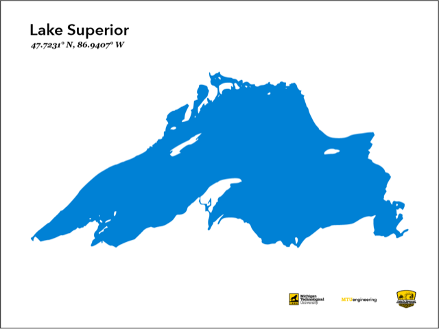
Current Maps Offered (Please contact us if you would like a map of a different lake)