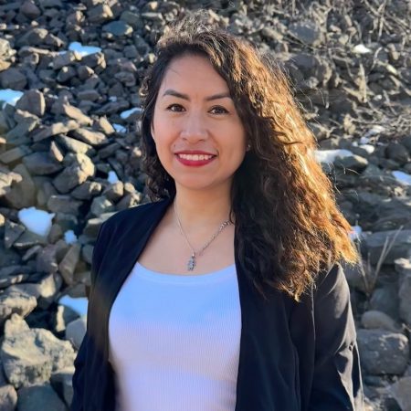
Rishitha Kunta, MS Mining Engineering, 2025
Advisor: Luke Bowman
Home City: Karimnagar, INDIA
Keep reading to discover Rishitha’s insights on the Geoinformatics Graduate Certificate. This program provides a unique opportunity to master GIS, remote sensing, and spatial data visualization, equipping you for meaningful roles in mining and resource management through hands-on experience.
Q: What certificate(s) will you receive this December 2024
A: Geoinformatics
Q: What motivated you to pursue this certificate?
A: I am motivated to pursue this certificate because I want to integrate geospatial analysis with the mining industry, leveraging spatial data for resource location, operational planning, and environmental assessment. I am also interested in mastering GIS and remote sensing to promote responsible mining, site analysis, and land reclamation.
Q: What were the most valuable skills or knowledge you gained?
A: The most valuable skills gained include advanced proficiency in GIS software for mapping ore deposits, terrain assessment, and environmental impact analysis. Additionally, expertise in remote sensing techniques supports mineral exploration and monitoring changes over time. A strong understanding of spatial databases and data visualization is also essential for tracking, analyzing, and presenting mining site data effectively.
Q: What part of the coursework did you enjoy the most?
A: Learning how to apply geoinformatics to real-world challenges and all the lab sessions, where I learned many new techniques.

Q: After completing the certificate, do you feel more confident in a particular skill or area?
A: I feel more confident in a particular skill or area after completing the certificate. I have Improved my ability to interpret spatial data related to terrain, ore quality, and environmental factors and enhanced my skills in creating accurate, detailed maps that communicate critical information for decision-making in mining.
Q: What’s your next step after completing this program?
A: The next step involves pursuing roles like GIS Analyst, Mining Geospatial Technician, or Environmental Consultant in the mining sector. I plan to work on projects involving geospatial data for mineral exploration, resource management, and environmental impact assessments while building expertise through field projects or internships.
Q: Do you plan to pursue any further education or certifications?
A: Yes. I plan to do additional certifications in mining GIS, remote sensing for mineral exploration, or environmental assessments in resource extraction.
Q: Would you recommend this program to others? If so, why? A: Yes, I recommend this program to anyone interested in this kind of stuff. This geoinformatics program offers hands-on training directly applicable to mining and many other fields, providing tools for spatial analysis essential to the field. The practical focus equips you with software and data interpretation skills that are highly demanded for responsible and efficient practices. It is also highly recommended for anyone interested in integrating spatial data with mining, as it covers technical skills and industry-relevant applications.
