Jacob T. Murchek presented his doctoral research proposal defense on Friday, December 1, 2023. Advised by Dr. James DeGraff, with Dr. Benjamin Drenth, Dr. Jeremy Shannon, and Dr. Aleksey Smirnov serving as committee members.
Title: Integration of Geophysical Data with Geologic Constraints to Infer Tectonomagmatic Controls on Mineral Systems in the Yukon-Tanana Uplands, Alaska, and Keweenaw Peninsula, Michigan
Abstract: Critical minerals are necessary for the everyday needs of modern human society and are paramount for the advancement of technology. Lithium, cobalt, nickel, and graphite are some examples of critical minerals used in cell phones, military equipment, vehicles, batteries, and other essential products. To increase domestic production of critical minerals, the U.S. Geological Survey (USGS) seeks to identify areas favorable to host deposits of such minerals through the Earth Mapping Resources Initiative. In collaboration with the USGS, the proposed research aims to identify tectonomagmatic controls of mineral systems in the Yukon-Tanana Uplands (YTU), Alaska, and along the Keweenaw Peninsula (KP), Michigan, using geophysical and geologic data to better understand the distribution and origin of such systems and to judge critical mineral potential in the two areas.
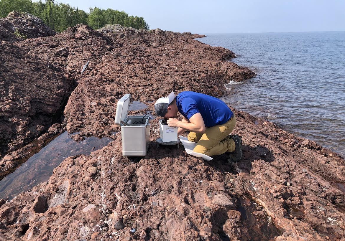
Both the YTU and KP have the potential to host critical mineral deposits, however, mineral systems in these areas are not completely understood. Critical minerals in the YTU are most likely to occur as secondary minerals associated with precious metal mineral systems. Aeromagnetic data will be interpreted, modeled, and integrated with regional geology, magnetic susceptibility measurements, and geochemical data to aid in delineating the boundary between the parautochthonous North American Basement (NAb) and allochthonous Yukon-Tanana Terrane (YTT) that underlie the YTU. Establishing a firm boundary for these terranes has major implications for understanding the origin and distribution of mineral systems across the YTU (e.g., porphyry Cu-Au, orogenic Au) and, consequently, the potential for such systems to host critical minerals. The research will emphasize developing geophysically mappable criteria for these and other mineral systems and the plutonic suites that may be associated with their deposition and enrichment. Along the KP copper district and its southwest extension, gravity and magnetic data, and possibly seismic reflection data, will be acquired to model the structure of the Midcontinent Rift System (MRS), thereby testing published cross-sectional models for the rift and the Keweenaw fault system (KFS). Better definition of the KFS is relevant to understanding migration pathways of copper-bearing hydrothermal fluids that produced economic deposits of copper and silver in the region. Quantitative geophysical modeling in the region can be tightly constrained by bedrock outcrops and rock property measurements (e.g., density, magnetic susceptibility). A better constrained subsurface model across the southeast margin of the MRS will establish a stronger tie to offshore geophysical data previously collected across Lake Superior. Such models should also improve the definition of known faults in the KFS as well as identify new faults beneath Jacobsville Sandstone, thus helping to infer mineralization pathways for copper and other elements associated with the MRS.