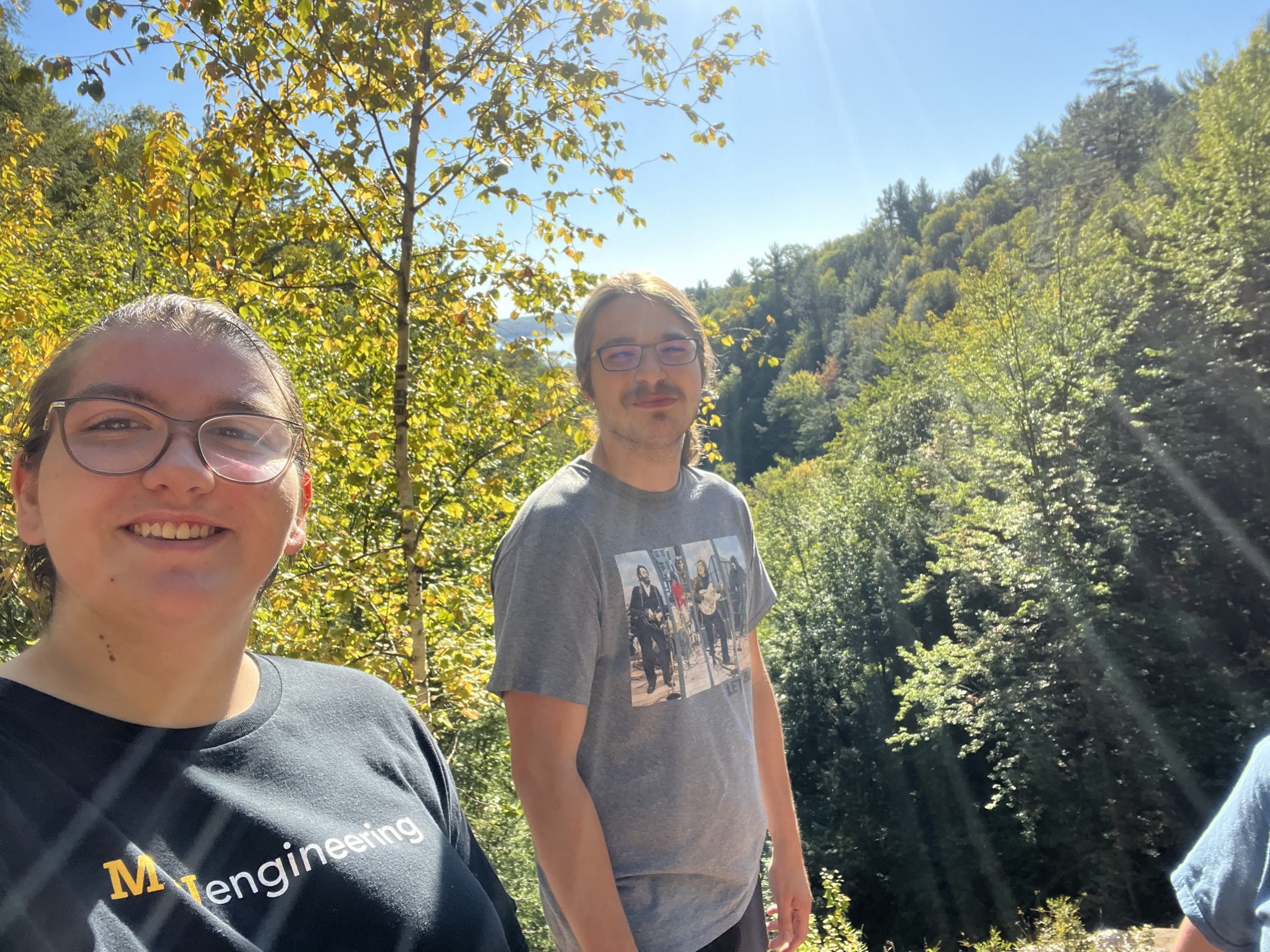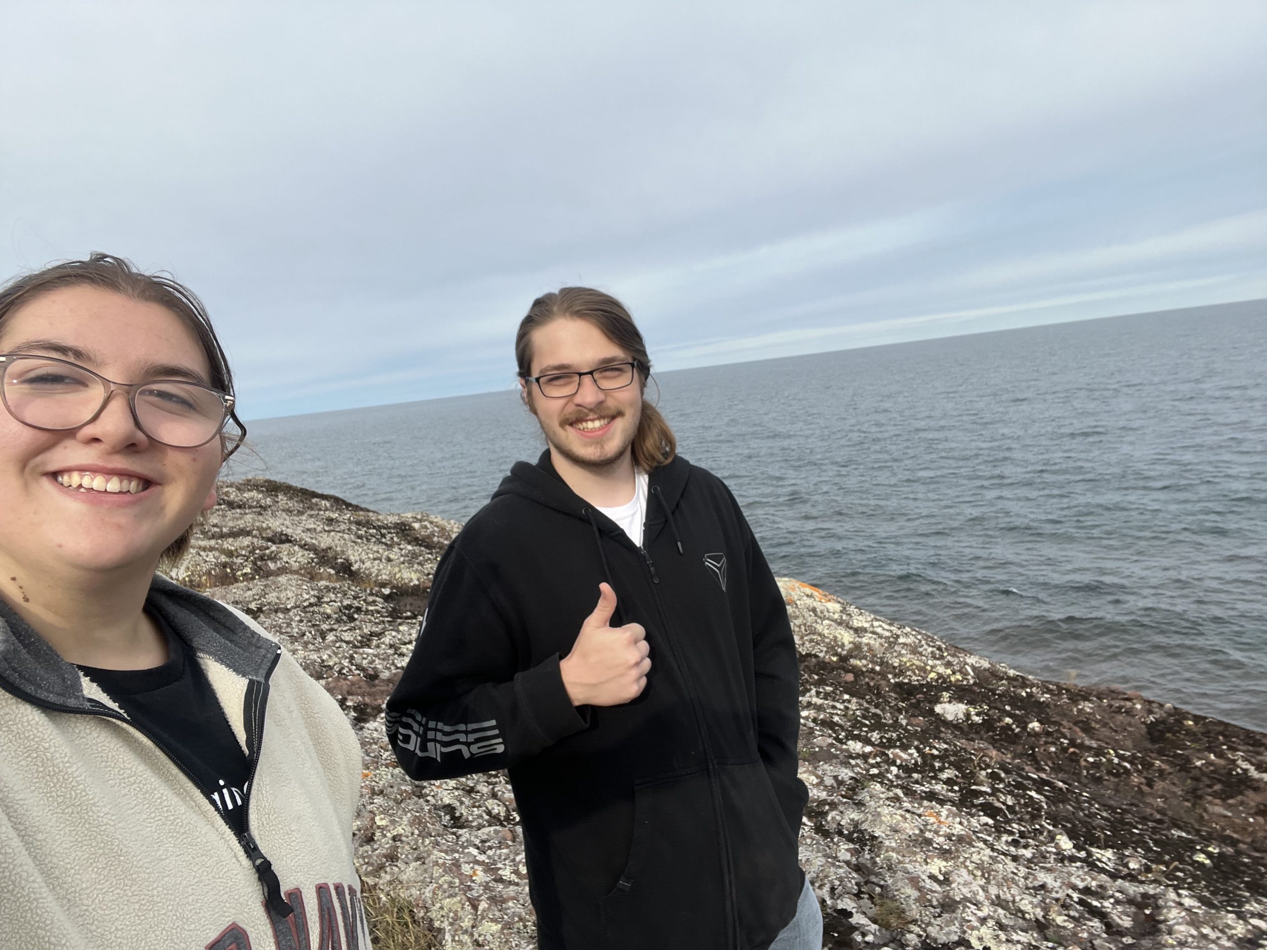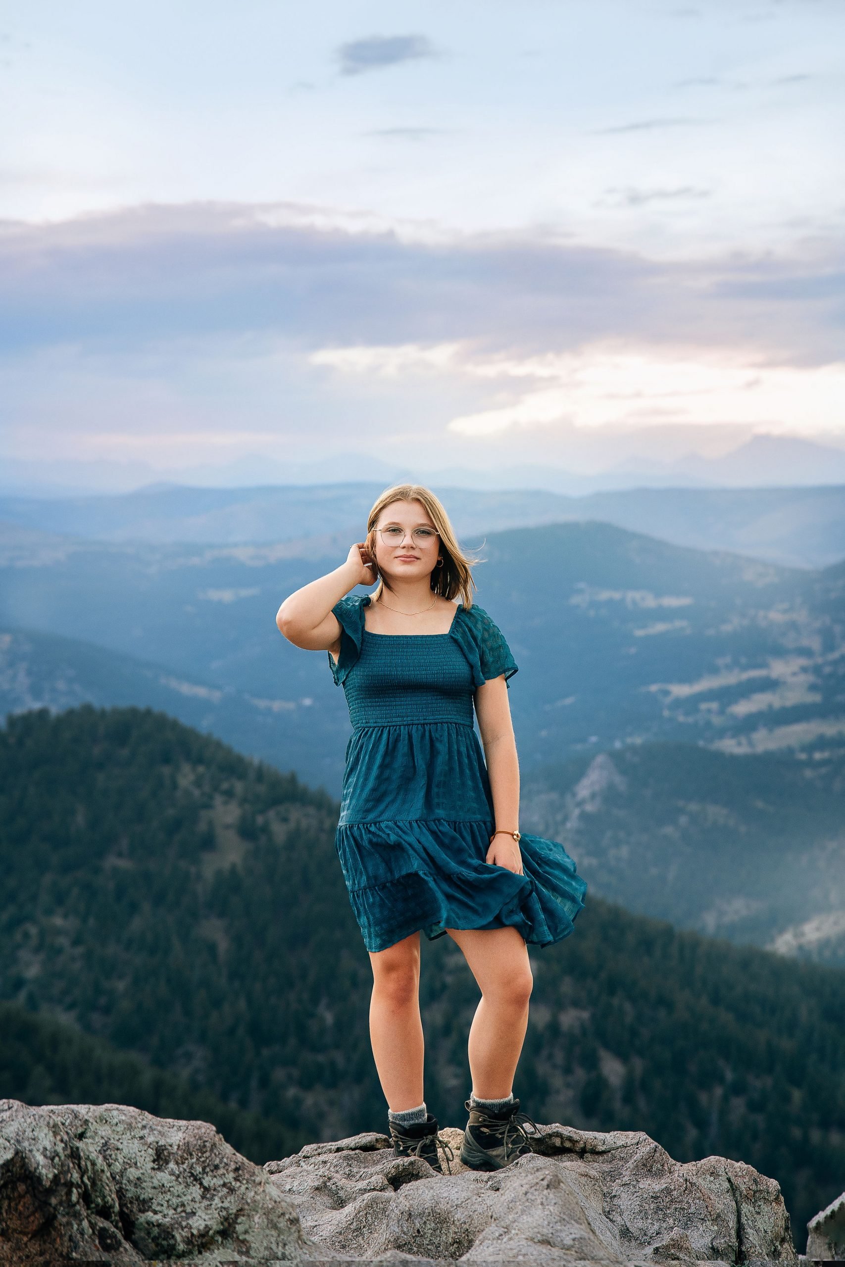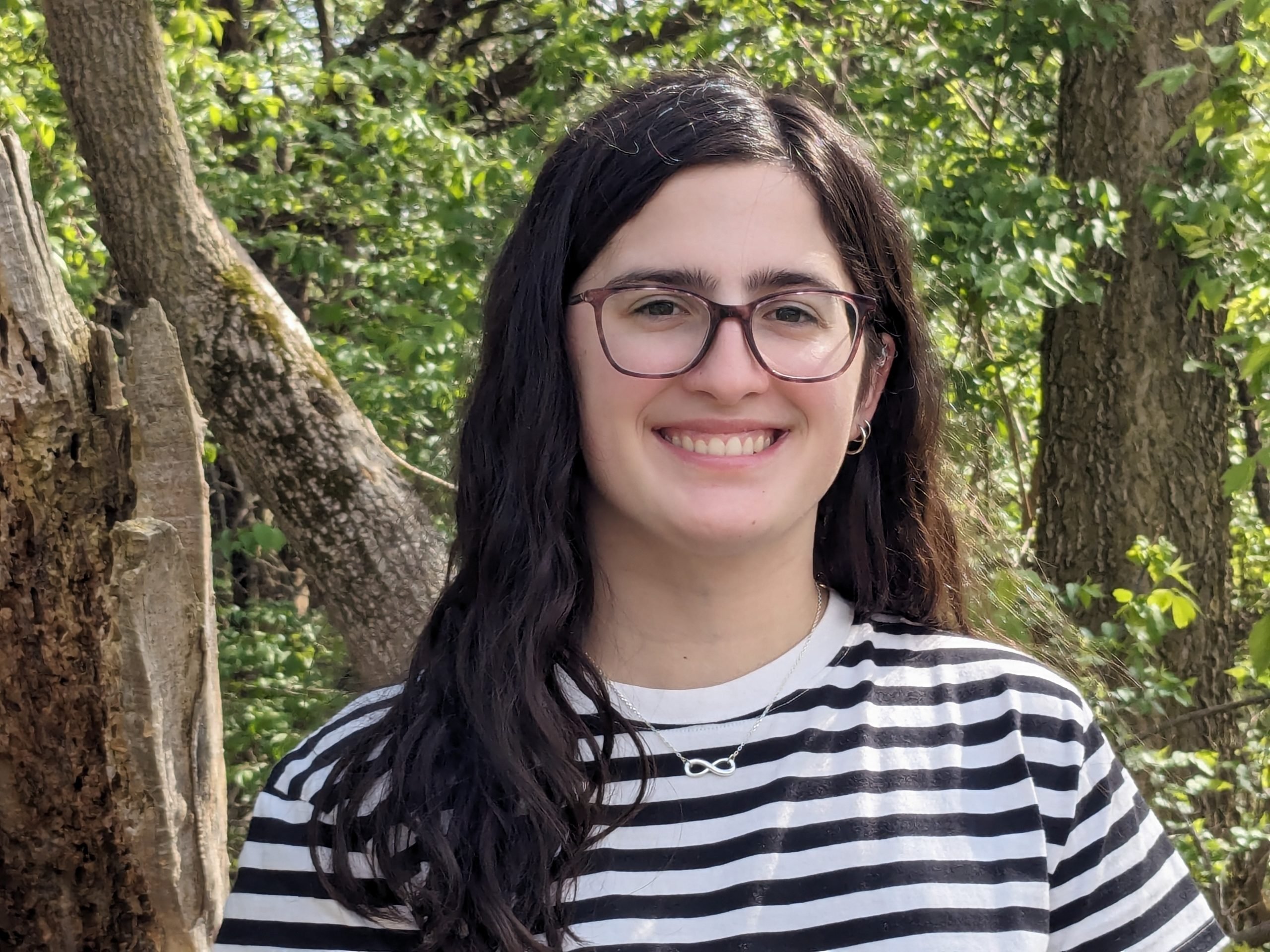
The Department of Geological and Mining Engineering and Sciences (GMES) at Michigan Technological University proudly announces that Natalie Sorensen, a geological engineering major with a statistics minor, has been selected as the 2025 GMES Department Scholar. This prestigious recognition is awarded annually to an exceptional undergraduate student who demonstrates outstanding academic achievement, research excellence, and leadership within the department.
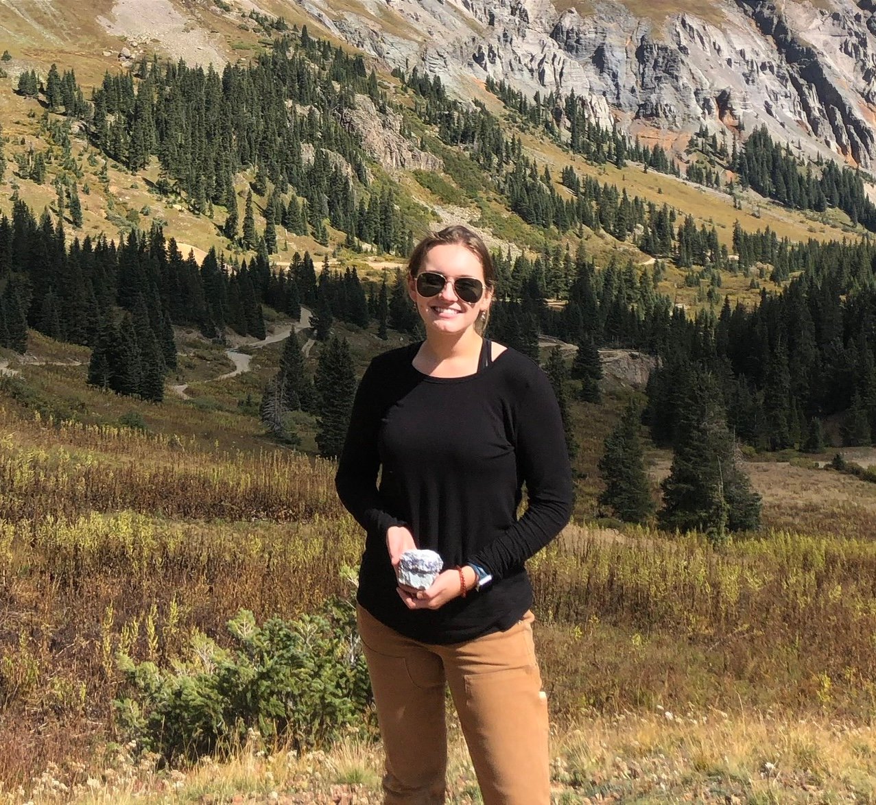
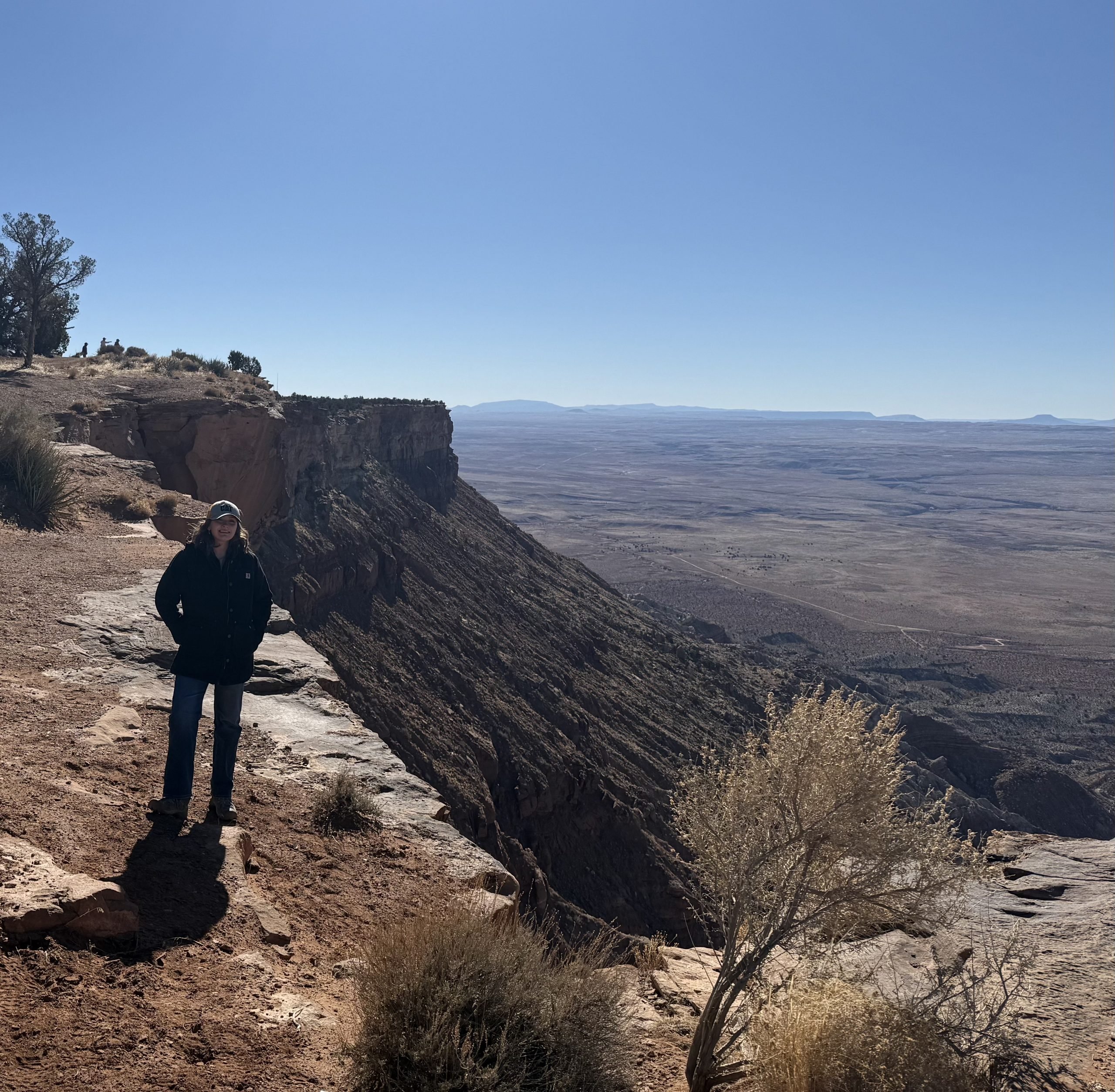
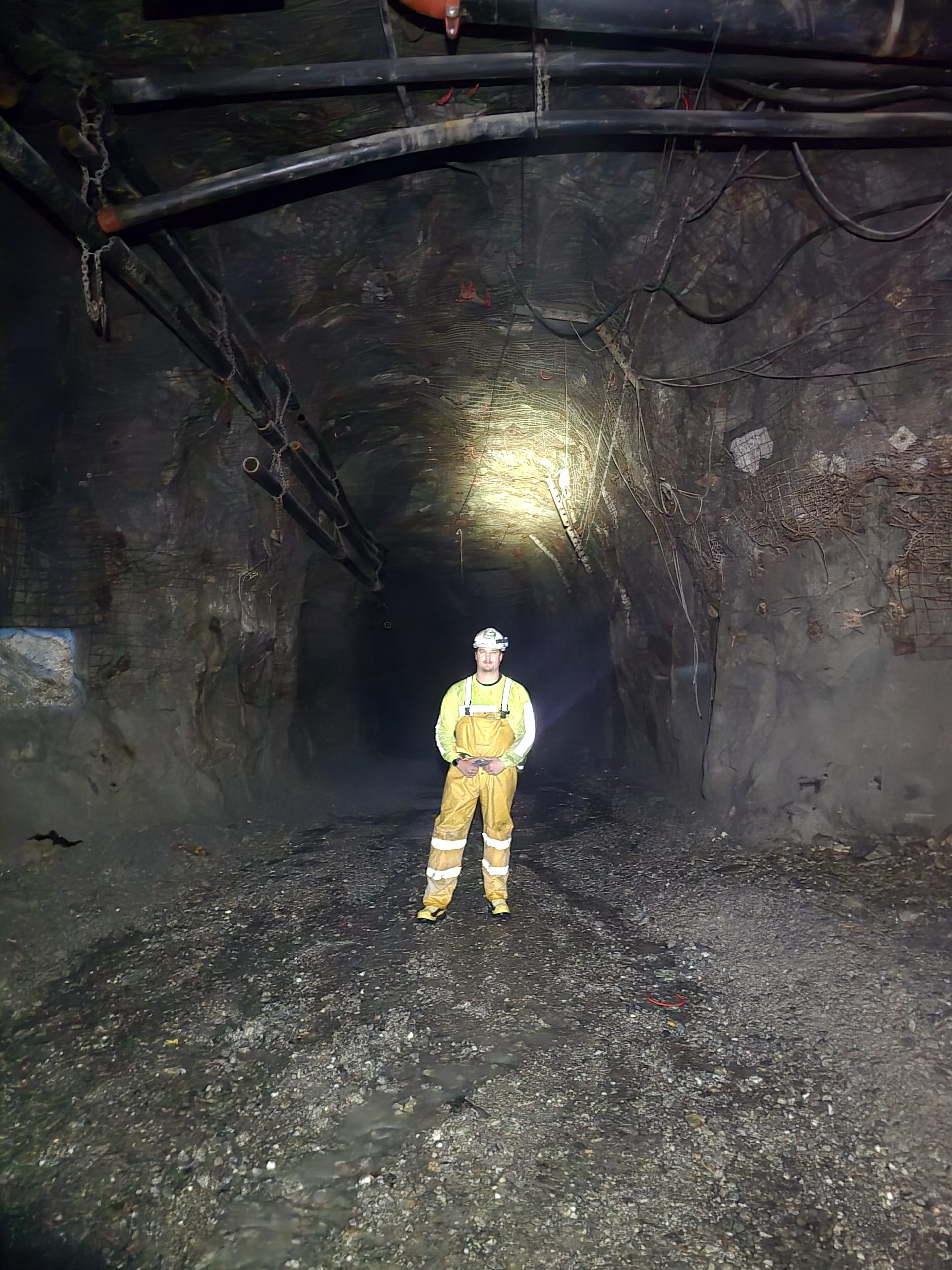
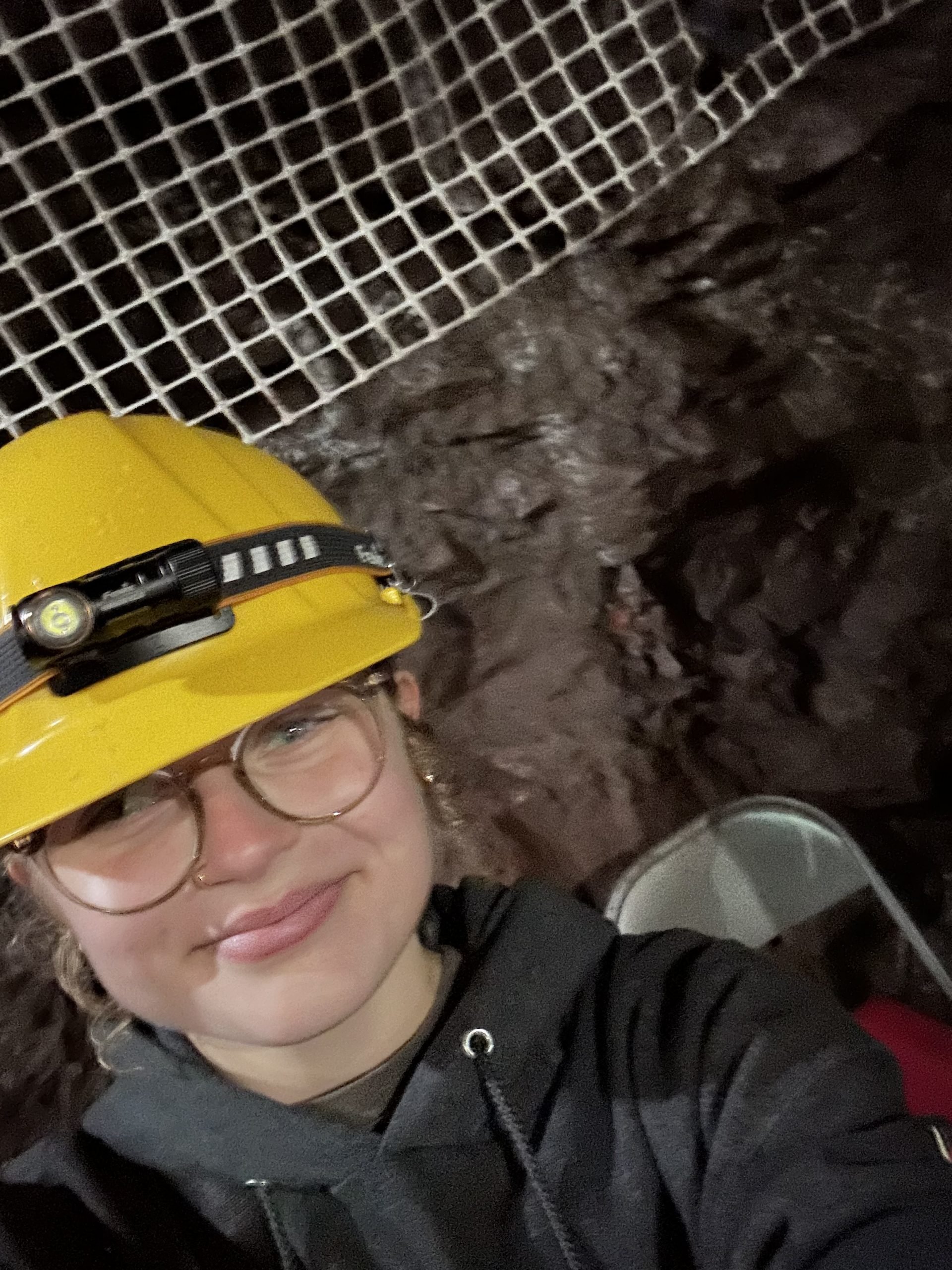
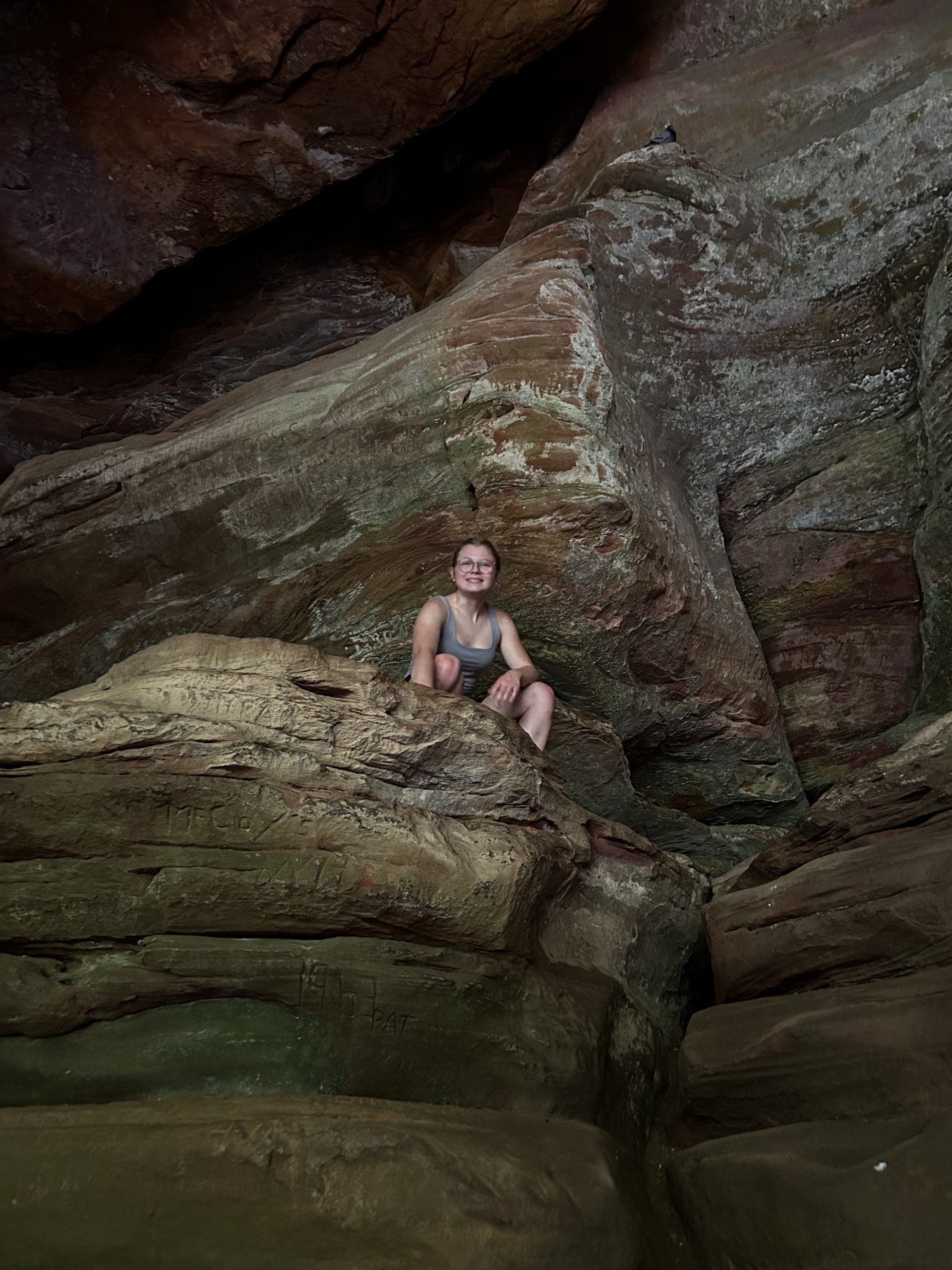
Natalie’s dedication to the field of geosciences is evident through her academic achievements, research contributions, and commitment to advancing geological sciences. Throughout her time at Michigan Tech, she has excelled in coursework, actively participated in fieldwork, and engaged in research that furthers our understanding of the Earth’s processes. From the moment she expressed interest in undergraduate research, even before enrolling at Michigan Tech, Natalie demonstrated remarkable initiative, securing research opportunities and internships that allowed her to explore water resources and geotechnical engineering. Building on her early research experience, Natalie has transitioned to geotechnical engineering, where she is currently working with Dr. Xiang Li to model landslide risks using statistical approaches to enhance geomechanical modeling. This contribution expands the scope of hazard assessment research.
Beyond academics, Natalie has proven to be a leader among her peers, contributing to student organizations like AIPG, mentoring fellow students, and representing GMES at conferences and events. Her passion for geosciences and drive to apply engineering solutions to real-world challenges make her deserving of the GMES Departmental Scholar and exemplify the spirit of innovation and inquiry that defines Michigan Tech scholars.
As Department Scholar, Natalie will be considered for the University Scholar Award, one of the highest academic honors at Michigan Tech. This recognition underscores her potential to make significant contributions to the geosciences field in the years ahead.
Please join us in congratulating Natalie Sorensen on this well-deserved achievement!