Tag: geoinformatics

Geoinformatics Graduate Certificate Ask and Answer with Nyasha Milanzi

Connect with Nyasha on LinkedIn: linkedin.com/in/nmilanzi/

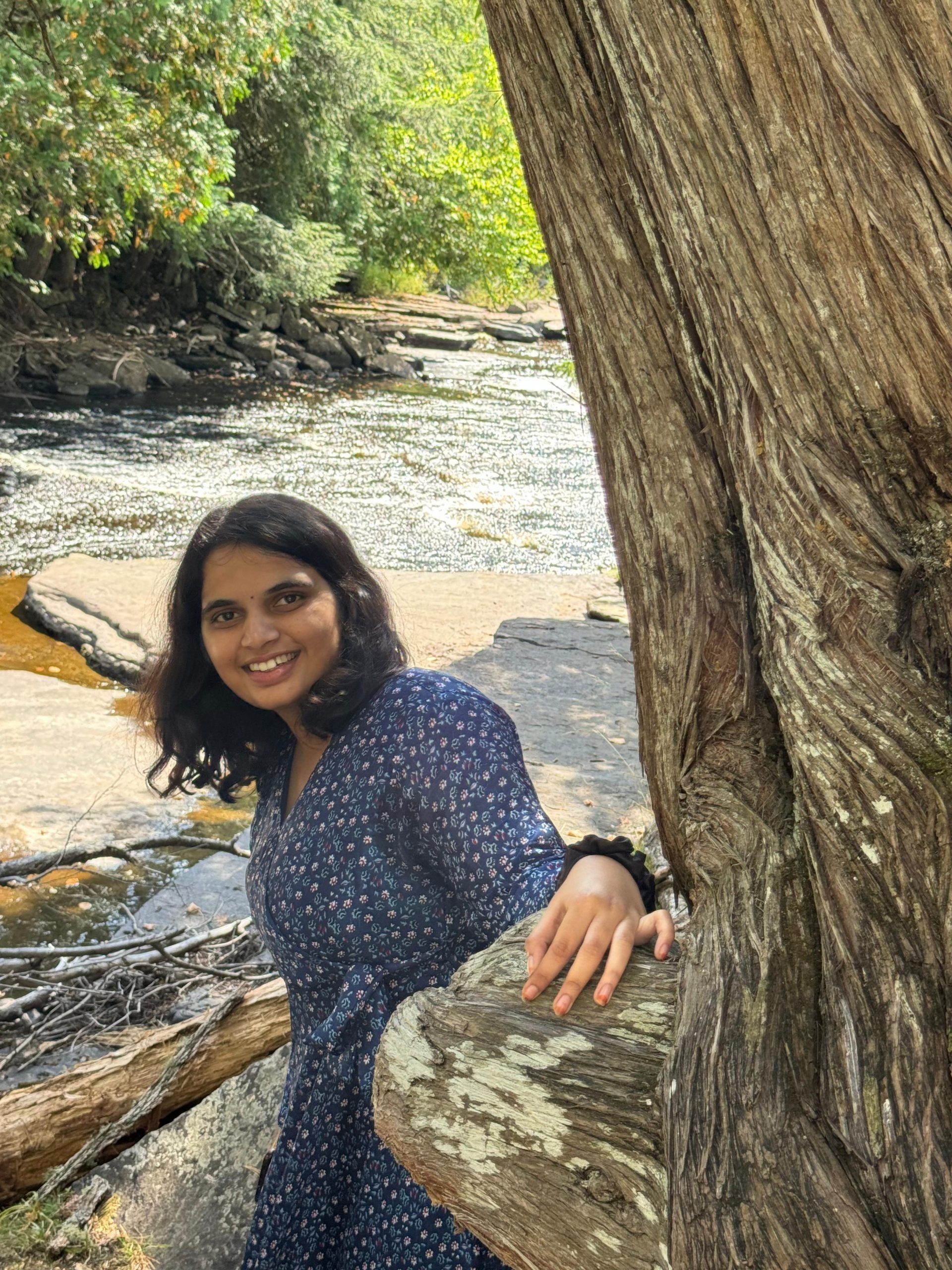
Nyasha Milanzi, MS Sustainable Communities, 2025

Advisor: Chelsea Schelly
Home City: Harare, Zimbabwe

Nyasha pursued the Geoinformatics Graduate Certificate to enhance her spatial data analysis skills and address critical environmental challenges like climate change and wildfires. One highlight was analyzing the historic John Snow cholera data, which revolutionized public health research and paved the way for disease prevention and drug development advances. She also explored COVID-19 data, examining the varied impacts of state policies, a particularly relevant topic given that more than half of her undergraduate studies took place during the pandemic.   Equipped with GIS, Python, and statistical tools, she plans to continue researching and working on projects that improve health and economic well-being in underserved communities. She also plans to pursue a PhD in the future. Keep reading to learn how this program can elevate your career and empower you to solve global environmental issues!

Q: What GMES Graduate Certificate will you receive this December 2024?

A: Geoinformatics

Q: What motivated you to pursue this certificate?

A: I wanted to enhance my spatial environmental data analysis, management, and analysis skills. 

Q: What were the most valuable skills or knowledge you gained?  

A: I discovered the power of maps as tools to solve some wicked environmental challenges of our generation, such as climate change and its associated impacts, such as wildfires. 

Q: What part of the coursework did you enjoy the most?  A: I loved working with interesting datasets. One of the most memorable was the John Snow dataset from 19th-century England, which provided crucial evidence that cholera was a waterborne disease. This groundbreaking discovery revolutionized public health research and paved the way for disease prevention and drug development advances.

Connect with Nyasha @afroscicomm on Instagram: instagram.com/afroscicomm/

Q: After completing the certificate, do you feel more confident in a particular skill or area?  

A: Yes, I’m very confident in analyzing environmental data using a combination of Python Scripts, GIS, and Statistics. 

Q: What’s your next step after completing this program?  

A: I hope to continue to apply the skills in a role I will secure after my Master’s, as well as in individual and independent research I plan to do in Food, Energy, and Water Systems

Q: Do you plan to pursue any further education or certifications?  

A: Yes. I see myself pursuing a PhD and using some of the tools in my research.

Q: Would you recommend this program to others? If so, why?  A: Yes. If you like programming, GIS, and solving environmental challenges, this certificate is for you.

Geoinformatics Graduate Certificate Ask and Answer

Rishitha Kunta poses for a picture.

Rishitha Kunta, MS Mining Engineering, 2025
Advisor: Luke Bowman
Home City: Karimnagar, INDIA

Keep reading to discover Rishitha’s insights on the Geoinformatics Graduate Certificate. This program provides a unique opportunity to master GIS, remote sensing, and spatial data visualization, equipping you for meaningful roles in mining and resource management through hands-on experience.

Q: What certificate(s) will you receive this December 2024

A: Geoinformatics

Q: What motivated you to pursue this certificate?

A: I am motivated to pursue this certificate because I want to integrate geospatial analysis with the mining industry, leveraging spatial data for resource location, operational planning, and environmental assessment. I am also interested in mastering GIS and remote sensing to promote responsible mining, site analysis, and land reclamation.

Q: What were the most valuable skills or knowledge you gained?  

A: The most valuable skills gained include advanced proficiency in GIS software for mapping ore deposits, terrain assessment, and environmental impact analysis. Additionally, expertise in remote sensing techniques supports mineral exploration and monitoring changes over time. A strong understanding of spatial databases and data visualization is also essential for tracking, analyzing, and presenting mining site data effectively.

Q: What part of the coursework did you enjoy the most?  

A: Learning how to apply geoinformatics to real-world challenges and all the lab sessions, where I learned many new techniques.

Captured in the heart of Downtown Houghton, Rishitha stands against the wintery night scene with the iconic bridge and water glowing behind her.

Q: After completing the certificate, do you feel more confident in a particular skill or area?  

A: I feel more confident in a particular skill or area after completing the certificate. I have Improved my ability to interpret spatial data related to terrain, ore quality, and environmental factors and enhanced my skills in creating accurate, detailed maps that communicate critical information for decision-making in mining.

Q: What’s your next step after completing this program?  

A: The next step involves pursuing roles like GIS Analyst, Mining Geospatial Technician, or Environmental Consultant in the mining sector. I plan to work on projects involving geospatial data for mineral exploration, resource management, and environmental impact assessments while building expertise through field projects or internships.

Q: Do you plan to pursue any further education or certifications?  

A: Yes. I plan to do additional certifications in mining GIS, remote sensing for mineral exploration, or environmental assessments in resource extraction.

Q: Would you recommend this program to others? If so, why?  A: Yes, I recommend this program to anyone interested in this kind of stuff. This geoinformatics program offers hands-on training directly applicable to mining and many other fields, providing tools for spatial analysis essential to the field. The practical focus equips you with software and data interpretation skills that are highly demanded for responsible and efficient practices. It is also highly recommended for anyone interested in integrating spatial data with mining, as it covers technical skills and industry-relevant applications.

Photo of a view from Cliff Drive on Michigan Tech’s campus provided by Rishitha Kunta.

Leading the Charge in Climate Science: Join Dr. Xin Xi at Michigan Tech

Dr. Xin Xi is excited to mentor and collaborate with the next generation of scholars.

Dr. Xin Xi is at the forefront of climate science, and Michigan Tech offers the chance to be part of his transformative work. Focusing on the life cycle of atmospheric aerosols and their far-reaching impacts on ecosystems, air quality, and climate, Dr. Xi tackles critical global challenges such as desertification and air pollution through remote sensing, in situ measurements, and advanced modeling techniques.

Dr. Xi and his team address pressing environmental and human health issues by combining cutting-edge research with innovative approaches. Supported by prestigious grants, including NASA’s LCLUC program, Dr. Xi’s work is shaping the future of climate science and inspiring the next generation of problem-solvers.

Going back to the vault, in this MTU research blog, Dr. Xi explains how airborne dust aerosols impact the Earth in various ways and shares how he believes the surface synoptic observations have not yet been used to their full potential, leading him to develop a unified dust-climate data record.

Since joining Michigan Tech, Dr. Xin Xi has significantly contributed to geoscience education, teaching advanced geoinformatics courses, introduction to GIS, and Python programming for geosciences. His Geoinformatics Graduate Certificate is widely recognized for its excellence and relevance in preparing students for the demands of modern geospatial research and industry applications.

Join Michigan Tech, where Professor Xi leads, and you excel.

MTU campus viewed from across the frozen snow-covered canal.
Michigan Technological University campus as viewed from across the frozen Portage canal.