Day: July 21, 2023

Beth Bartel Geology Ph.D. Defense

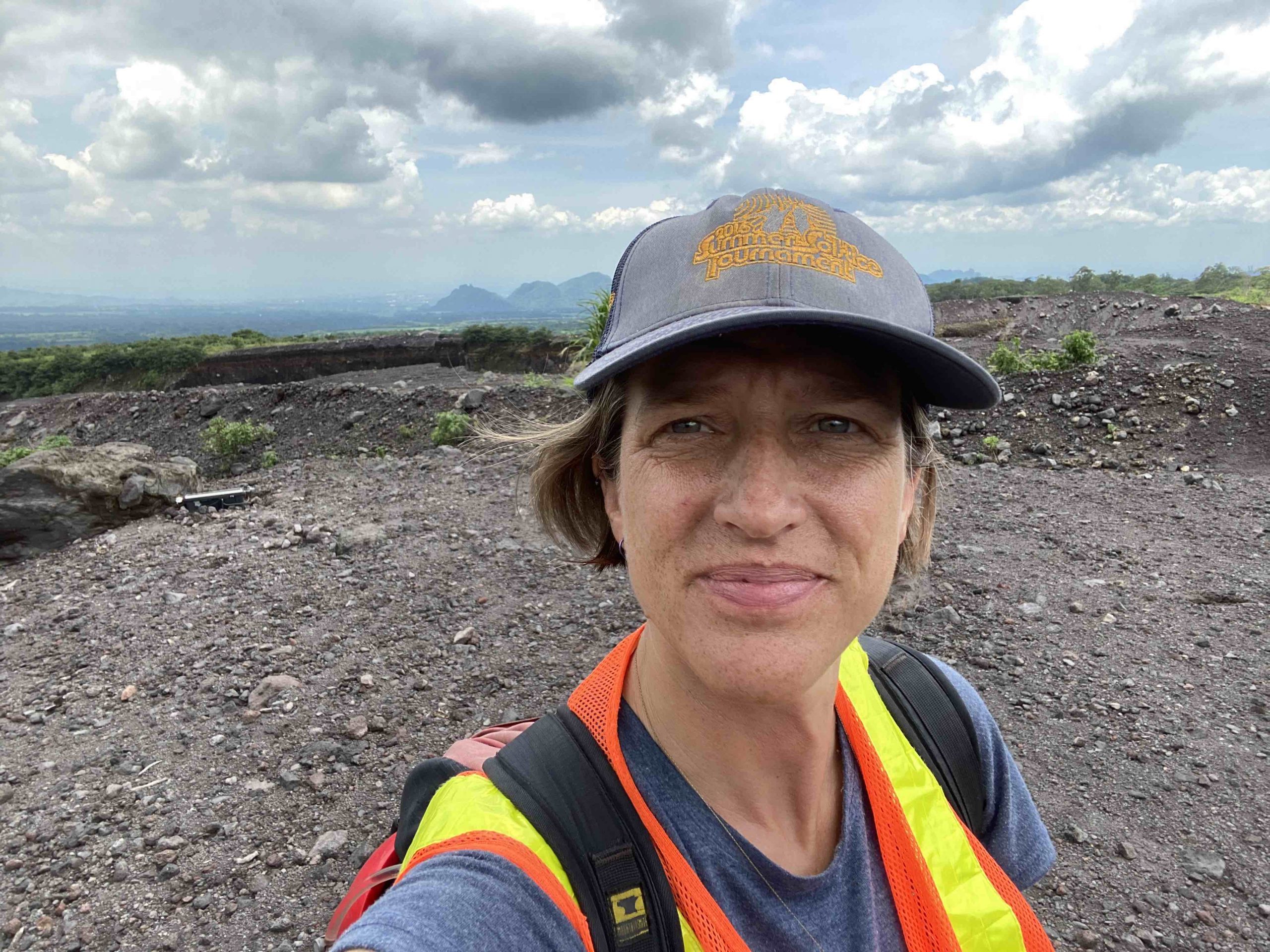
On Friday, July 7, 2023, Beth Bartel achieved resounding success as she skillfully defended her research for her doctoral degree in geology.


Co-Advised by Greg Waite and Rüdiger Escobar Wolf, with Angie Carter, Kari Henquinet, and Luke Bowman as committee members.

Title: Information Use and Decision-Making for Evacuation at Fuego Volcano, Guatemala Information Use and Decision-Making for Evacuation at Fuego Volcano, Guatemala

Abstract: Active volcanoes are complex, multi-hazard systems. Early warning systems (EWS) may enable populations to live sustainably with volcanic hazards, but developing an effective EWS is far from straightforward, as is measuring its efficacy. At Fuego volcano, Guatemala, pyroclastic density currents (PDCs)—fast-moving flows and surges of hot volcanic gas, ash, and rock–killed more than 400 people during a paroxysmal eruption in June 2018 and continue to threaten the ~60,000 people living within the identified hazard zones. In this dissertation, I use mixed ethnographic methods to investigate evacuations at Fuego during and since the tragedia through three projects. I first investigate information availability and its use in decision-making on 3 June 2018. Next, I examine current practices for evacuation decision-making four and five years after the disaster, focusing on a partial evacuation on 7–8 March 2022. Finally, I use that same event to study how cultural gender expectations impact evacuation strategies and how women’s experiences in evacuation can inform future risk reduction strategies. With this dissertation, I aim to contribute a better understanding of the complex factors challenging the efficacy of EWS in order to improve existing approaches in and beyond Guatemala. In this way, this work aims to serve the population around Fuego volcano and others like it in various cultural, geographic, and economic settings.

Caleb Kaminski MS in Geophysics Final Defense

On April 21, 2023, Caleb Kaminski demonstrated resounding success in defending his research for his Geophysics Master of Science degree.

Advised by Aleksey Smirnov, with Paul van Susante and Jeremy Shannon as committee members.

Title: Exploring Ground-Penetrating Radar Responses to Basaltic Terrain for Upcoming Lunar Expeditions

Abstract: In preparation for upcoming lunar expeditions, a comprehensive understanding of the Moon’s geophysical properties is imperative, particularly in the context of resource identification and extraction. This study focuses on the experimental characterization of electromagnetic (EM) behavior in the radio spectrum for ground-penetrating radar applications, utilizing basaltic Keweenawan stamp sand and highland lunar simulant soil test materials with varying particle grades. Under controlled laboratory conditions, we systematically analyzed and compared the differences in EM wave velocity and signal amplitude as a function of particle size and mineralogy, as represented in radargrams. Our findings demonstrate that the highland lunar simulant exhibits a significantly higher EM reflection coefficient than the stamp sand, which can be attributed to its lower conductivity arising from compositional differences. These results hold important implications for the development of remote sensing techniques and optimization of ground-penetrating radar systems for future lunar missions, ultimately enabling the efficient detection and extraction of valuable resources such as water ice on the lunar surface.

Nolan Gamet MS in Geology Final Defense

On June 22, 2023, Nolan Gamet achieved success in defending his research for his Master of Science in Geology.

Title: Structural Analysis and Interpretation of the Deformation Along the Keweenaw Fault System from Lake Linden to Mohawk, Michigan

Abstract: The Keweenaw fault is likely the most significant fault associated with the Midcontinent Rift System, with an estimated reverse slip of ~10 km that places Portage Lake Volcanics (~1.1 Ga) over much younger Jacobsville Sandstone (~1.0 Ga). Published bedrock geology maps with cross sections from the 1950s show the fault as a single continuous trace that is locally associated with smaller cross faults and splays. This M.S. thesis presents a structural analysis and interpretation of the Keweenaw fault system between Lake Linden and Mohawk, MI, which includes data collected from well-known localities such as Houghton-Douglass Falls, the St. Louis ravine, the Natural Wall ravine, and the anomalous rhyolite body near Copper City. These data were used to revise existing bedrock geology maps, construct new cross-sections, and analyze fold geometry and fault slip behavior to infer aspects of the tectonic regime that caused the deformation.

New field mapping has refined the trace geometry of the Keweenaw fault (KF) and smaller associated faults by shifting the main fault’s position laterally as much as 150m, revising intersections between several splay faults and the main fault, and suggesting the existence of several footwall splays not previously recognized. Orientation analysis of Jacobsville Sandstone strata in the footwall of the fault system defines fold axes with plunge directions changing from southwest in the south to northeast in the north. The style of folding also changes along the fault from broad syncline-anticline pairs in the southwest to tightly folded anticlines with overturned bedding to the northeast. Fault-slip analyses reveal a bimodal distribution strike-slip and reverse slip along the fault system that collectively define a 1:1 ratio and a nearly north-south maximum tectonic shortening direction of 2°–182°. The NS-trending shortening direction computed from fault-slip analysis creates a paradox yet to be explained. However, fold axis trends in the current area indicate shortening along an ESE-trending line, which is consistent with recent results for the fault system northeast of this study area and with Grenville orogenic compression being the primary cause of slip along the Keweenaw fault system.

Advised by James DeGraff, with Chad Deering, William Rose, and Jeremy Shannon as committee members.

Paola Rivera-González MS in Geology Final Defense

On April 5, 2023, Paola Rivera-González successfully defended her Geology Master of Science degree.

Title: Climate Changes in El Salvador: Impacts of ‘La Canícula’ (“Dog Days of Summer”) on Agricultural Practices and Decision-Making in Rural Communities

Abstract: The Central American Dry Corridor (CADC), a tropical dry forest region, is characterized by distinct rainy and dry seasons that influence the local agricultural calendar and decision-making in rural communities. ‘La canícula’ is a period of decreased precipitation during the rainy season, which typically occurs in July during the corn growing season in El Salvador. The ‘canícula’ is expected to change in intensity and duration in the next decades, which would impact small-scale farmers and their livelihoods. Climate variability and uncertainty has led to crop loss, water scarcity, and food insecurity in rural communities dependent on subsistence farming. Farmers’ experiences with a changing climate led to reformed decision-making and agricultural processes (eg. agricultural calendar, seed type usage, crop rotation) to optimize their harvest and adapt to a variable climate. Studying the local perceptions and adaptation practices of farmers showed how natural hazards related to global climate change impact society, community dynamics in how farmers identify their main challenges, and revealed the ways farmers improve resilience to a changing climate.

Advised by Luke Bowman with committee members Kari Henquinet, John Gierke

Paola Laguna Algeria

Natalea Cohen MS in Geology Final Defense

On Wednesday, June 14, 2023, Nat Cohen triumphed as she confidently defended her Geology Master of Science degree.

Nat Cohen on Mont Ripley

Title: Rain-induced hazards in remote, low-resource communities: A case study of flash flooding in the Usulután Department, El Salvador

Abstract: Natural hazards like flash floods can cause devastating impacts, so it is important to better understand these events to improve mitigation and emergency preparedness of vulnerable communities. California, El Salvador is a data-poor agricultural community experiencing climate change impacts and associated hazards, including flash flood events. This study uses ArcGIS Pro to map regional flash flood susceptibility and applies the Water Evaluation and Planning system (WEAP) to model sub-daily flash flood events in a California drainage well-known for flash flooding. Natural hazards like flash floods can cause devastating impacts, so it is important to better understand these events to improve mitigation and emergency preparedness of vulnerable communities. California, El Salvador is a data-poor agricultural community experiencing climate change impacts and associated hazards, including flash flood events. This study uses ArcGIS Pro to map regional flash flood susceptibility and applies the Water Evaluation and Planning system (WEAP) to model sub-daily flash flood events in a California drainage well-known for flash flooding.

Co-Advised by Luke Bowman and John Gierke, with Greg Waite as a committee member.