On Friday, July 21, Jordan Ewing successfully defended the research for his doctoral degree in computational science and engineering.
Advised by Thomas Oommen, with Laura Brown, Stanley Vitton, and Paramsothy Jayakumar as committee members.
Title: Remote Sensing Approach for Terramechanics Applications Utilizing Machine and Deep Learning
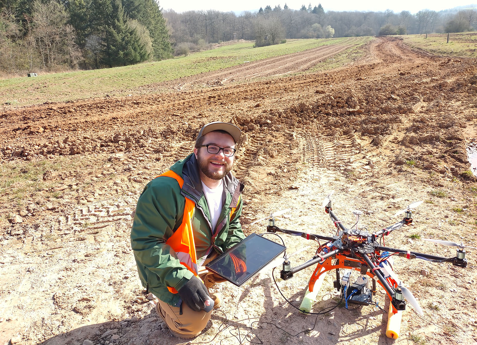
Abstract: Terrain traversability is critical for developing Go/No Go maps, significantly impacting a mission’s success. To predict the mobility of a vehicle over a terrain, one must understand the soil characteristics. In situ measurements performed by soldiers in the field are the current method of collecting this information, which is time-consuming, are only point measurements, and can put soldiers in harm’s way. Therefore, this study investigates using remote sensing as an alternative approach to characterize terrain properties.
This approach will explore the relationships between electromagnetic radiation and soil types with varying properties. Optical, thermal, and hyperspectral sensors will be used to collect remote data and compare it against ground truth measurements for validation. Machine learning (linear, ridge, lasso, partial least squares, support vector machines, and k nearest neighbors) and deep learning (multi-layer perceptron and convolutional neural network) algorithms will be used to build prediction models.
Results showed that soil properties such as soil gradation, moisture content, and soil strength measured by a geogauge and averaged cone penetrometer for 0–6” and 0–12” (CP06 and CP12) can be estimated remotely. Deep learning provides the best models for estimating terrain characteristics compared to machine learning. It is shown that this method can produce much finer spatial resolution coverage than traditional geospatial point-based interpolation approaches and yield a higher prediction accuracy. Predictions maps can be used to generate threshold-based Go / No Go maps using a vehicle cone index or as a cost map for vehicle performance. A Polaris MRZR vehicle was used to test the application of these prediction maps for mobility purposes, and correlations were observed between the CP06 and rear wheel slip and CP12 and vehicle speed.
This study demonstrates the potential of using remote sensing data for more rapid and finer spatial resolution predictions of terrain properties with higher accuracies compared to traditional in situ mapping methods implementing machine and deep learning algorithms. The remote sensing approach allows the generation of Go/No Go and vehicle cost maps and, most importantly, provides a safe alternative to keep soldiers out of harm’s way.