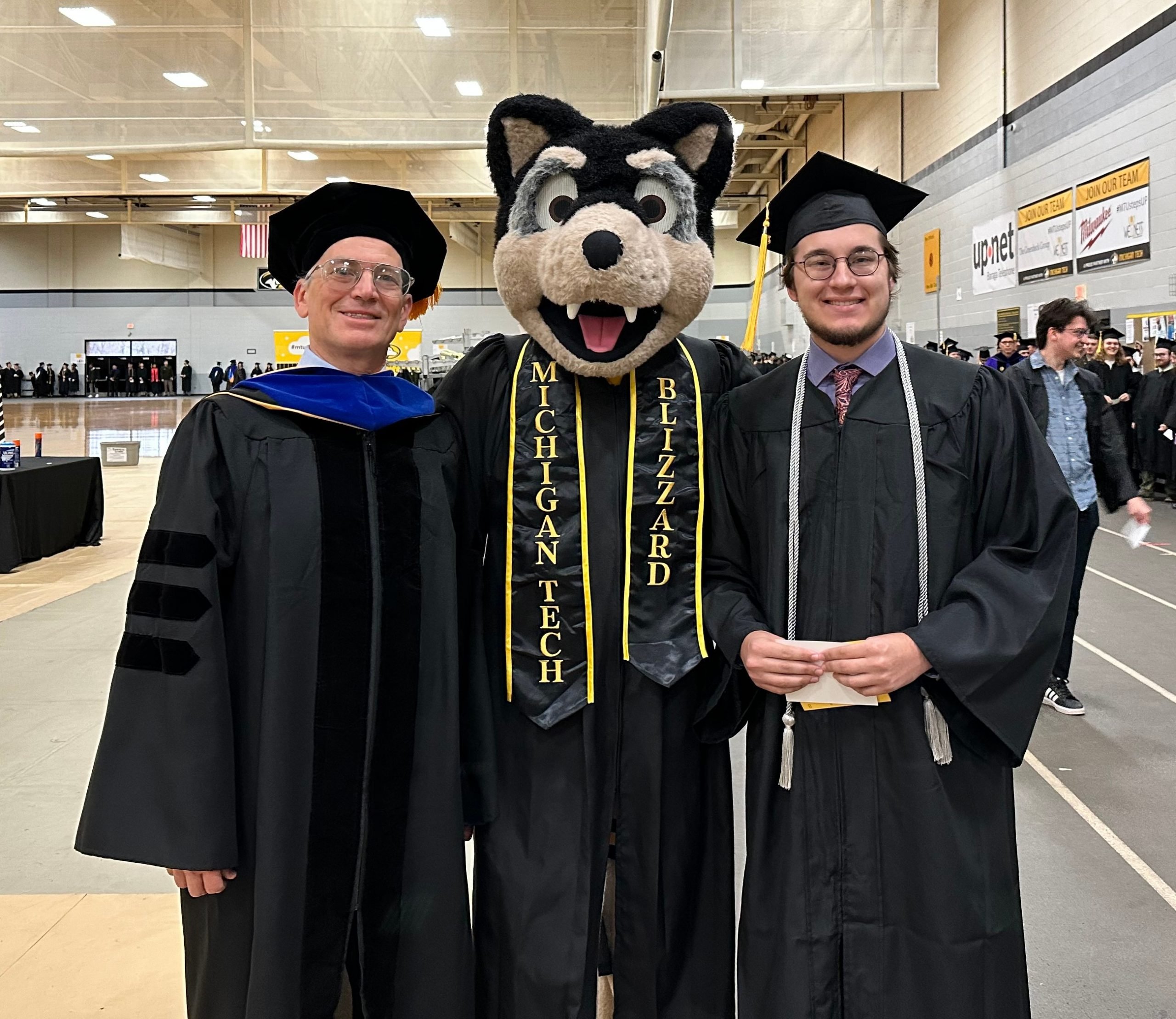
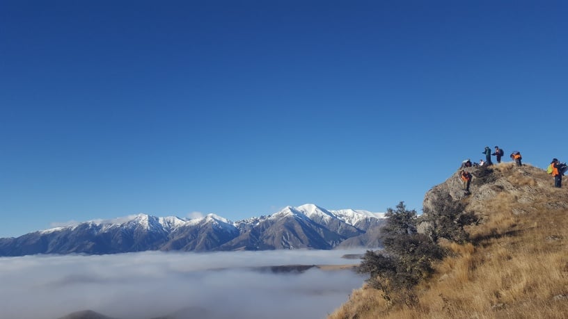
Earning a college degree requires more than time—it demands determination, resilience, and passion. We are proud to celebrate the outstanding achievements of our Spring 2025 graduates from the Department of Geological and Mining Engineering and Sciences (GMES) at Michigan Technological University.
These graduates have excelled in research, completed rigorous coursework, and made meaningful contributions to our academic community. Their dedication has prepared them to excel as professionals and researchers in the fields of geosciences, mining, and engineering.
Please join us in congratulating the following graduate students:
Doctor of Philosophy in Geology
- Gustavo Bejar Lopez — Advised by Dr. Greg Waite
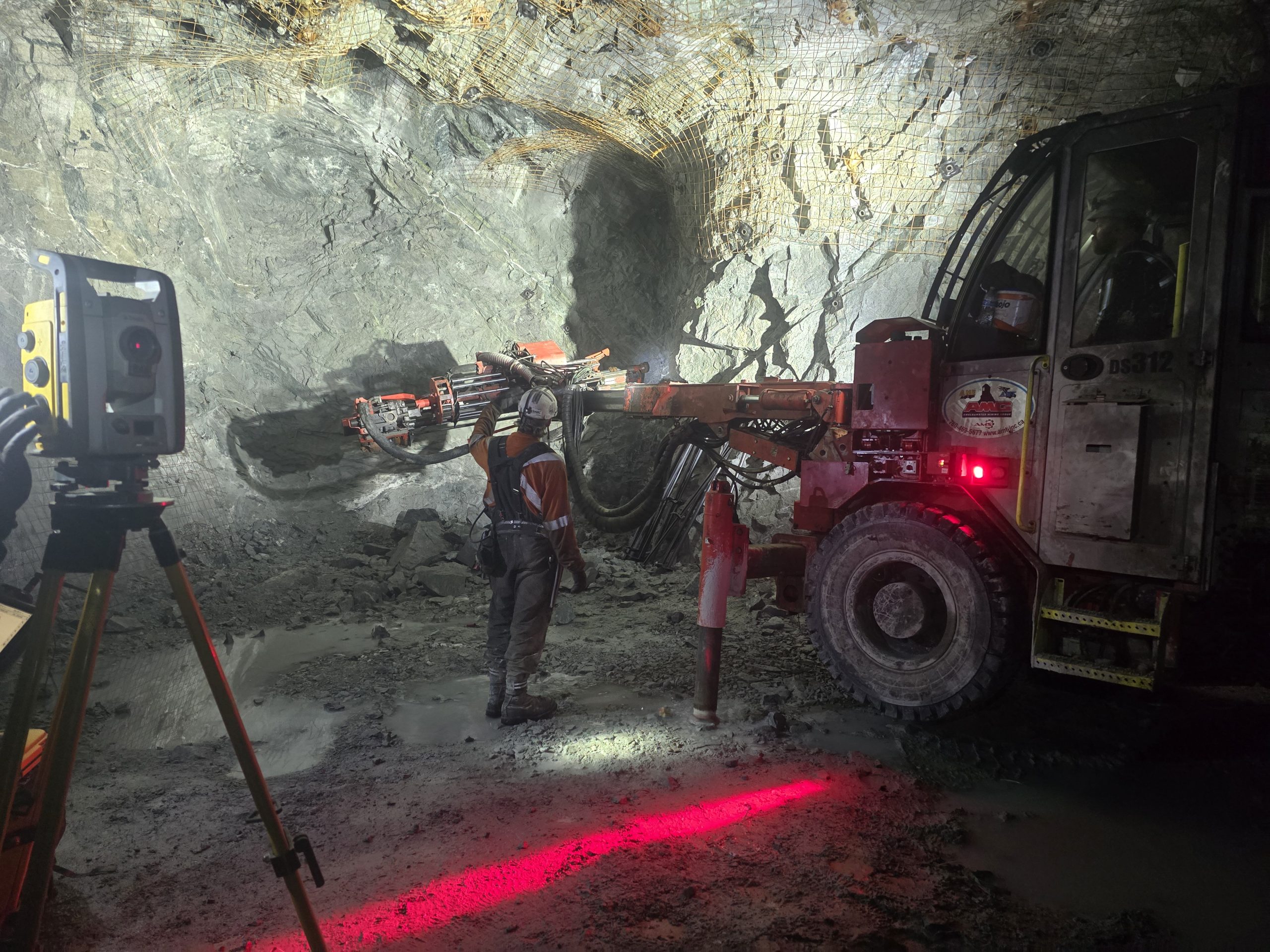
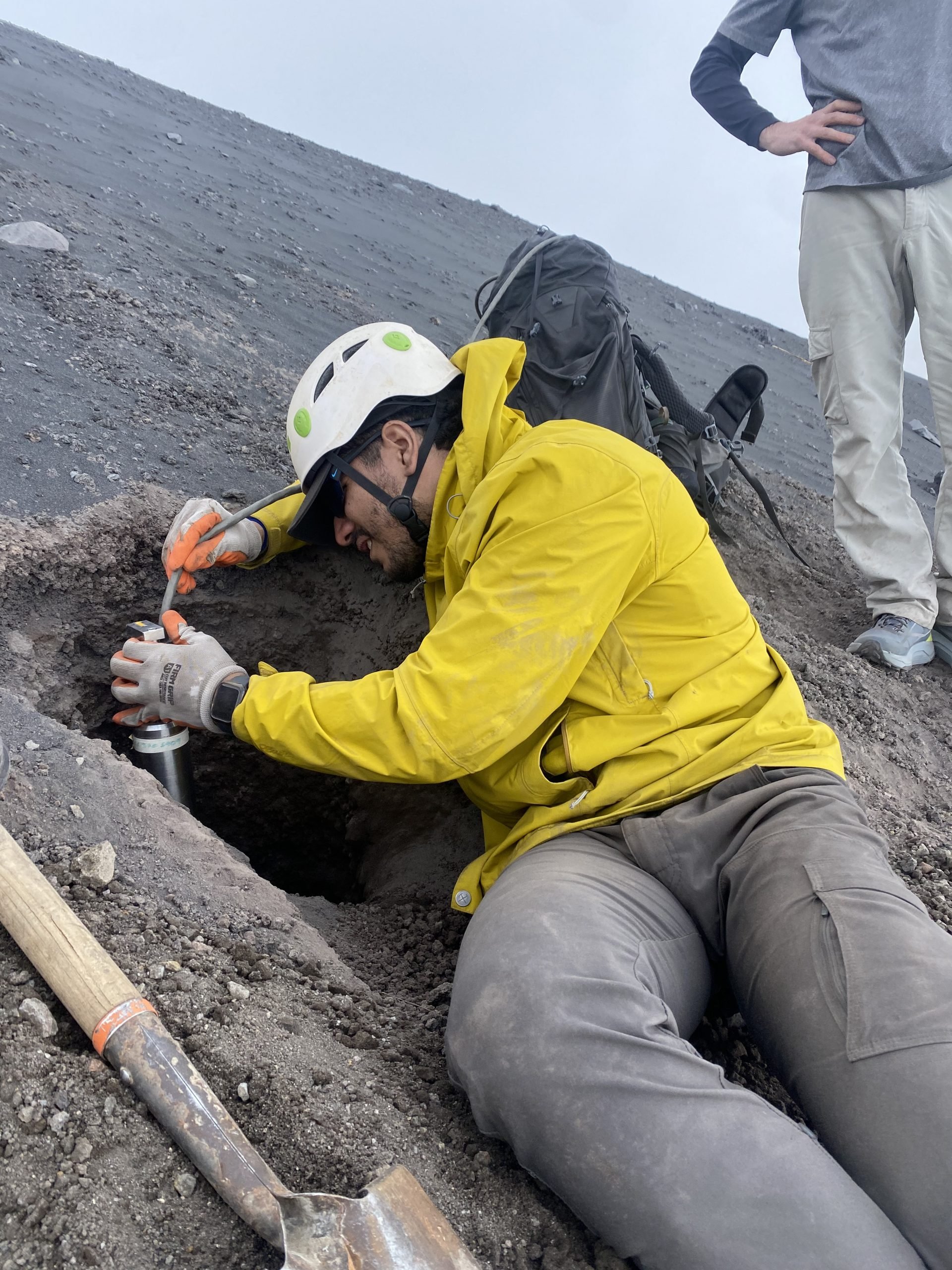
“While my work was related to the technical aspect of detecting and modeling hazards, it has important implications for the lives of people who are exposed to or affected by these hazards every day. I plan to continue developing new tools and expanding my knowledge of these geologic processes, thereby diversifying my expertise to include other types of hazards, beyond the focus of my PhD, which is lahars.” –
Master of Science in Geology
- Philip Dake — Advised by Dr. Luke Bowman
- Kunle Bejide — Advised by Dr. Luke Bowman
- Jacob Krier — Advised by Dr. Greg Waite
- Ryan Schwiderson — Advised by Dr. Luke Bowman
Master of Science in Geological Engineering
- Theo Asumah — Advised by Dr. Aleksey Smirnov & Dr. Radwin Askari
- Sara Kavousi — Advised by Dr. Luke Bowman
- Stephen Benjamin Udota — Advised by Dr. Luke Bowman
Master of Science in Geophysics
- Bryan Lowney — Advised by Dr. Greg Waite
Master of Science in Mining Engineering
- Angela Amoh — Advised by Dr. Luke Bowman
- Isaac Donkoh — Advised by Dr. Luke Bowman
- Poorva Kadrolli — Advised by Dr. Snehamoy Chatterjee
- Rishitha Kunta — Advised by Dr. Luke Bowman
- Rapheka Targbwe — Advised by Dr. Luke Bowman
- Maxwell Yeboah — Advised by Dr. Luke Bowman
- Dharmasai Eshwar Reddy Sirigiri — Advised by Dr. Snehamoy Chatterjee
Congratulations to the following students for their successful completion of graduate certificates:
Graduate Certificate in Natural Hazards and Disaster Risk Reduction
- Gustavo Bejar Lopez
- Leah Harazin
- Bryan Lowney
- Averi Reno
Graduate Certificate in Geoinformatics
- Gustavo Bejar Lopez
- Samuel Karner
- Bryan Lowney
- Nyasha Mhindu
- Stephen Udota
These students have demonstrated a commitment to expanding their expertise, and we applaud their accomplishments. We look forward to seeing the impact they’ll make in their careers and communities!
Awards and Scholarships Awarded
- Gustavo Bejar Lopez
Outstanding Teaching Assistant Award
- Helen Foldenauer
- Brighton Muwi
- Daniel Muchabaiwa
- Kudakwashe Mutanga
- Ben Mperekwa
- Mirza Ubed Baig
Finishing Fellowship Recipients
- Abid Danish, Ph.D. in Mining Engineering
- Gustavo Bejar Lopez, Ph.D. in Geology
As part of our Spring 2025 celebration, we invited graduating students to share reflections on their time at Michigan Tech—from favorite moments to what’s next. Their insights highlight the experiences that shaped their journey and future.
I chose Michigan Tech and the GMES department because of the campus, the research opportunities, and the strong alumni network.
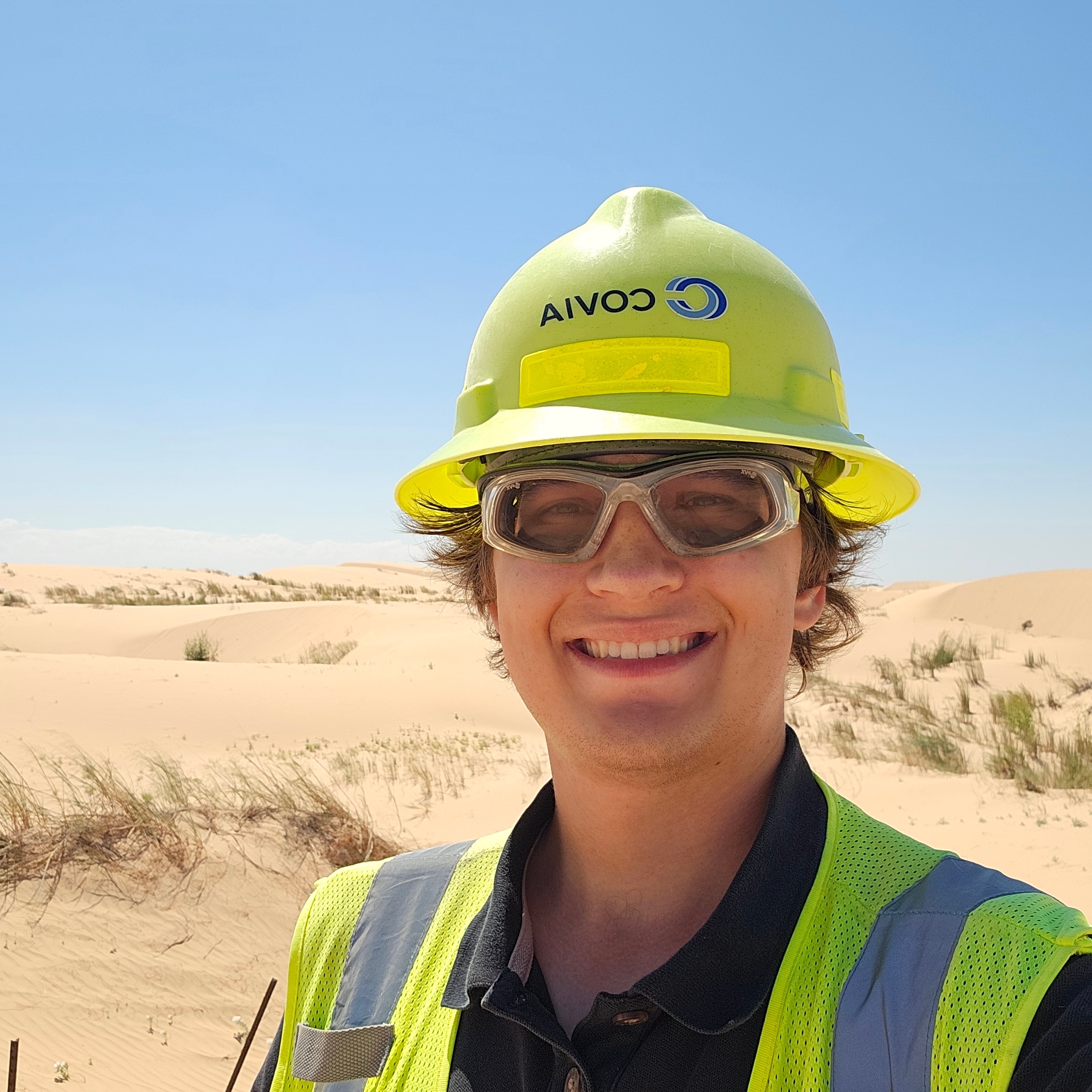
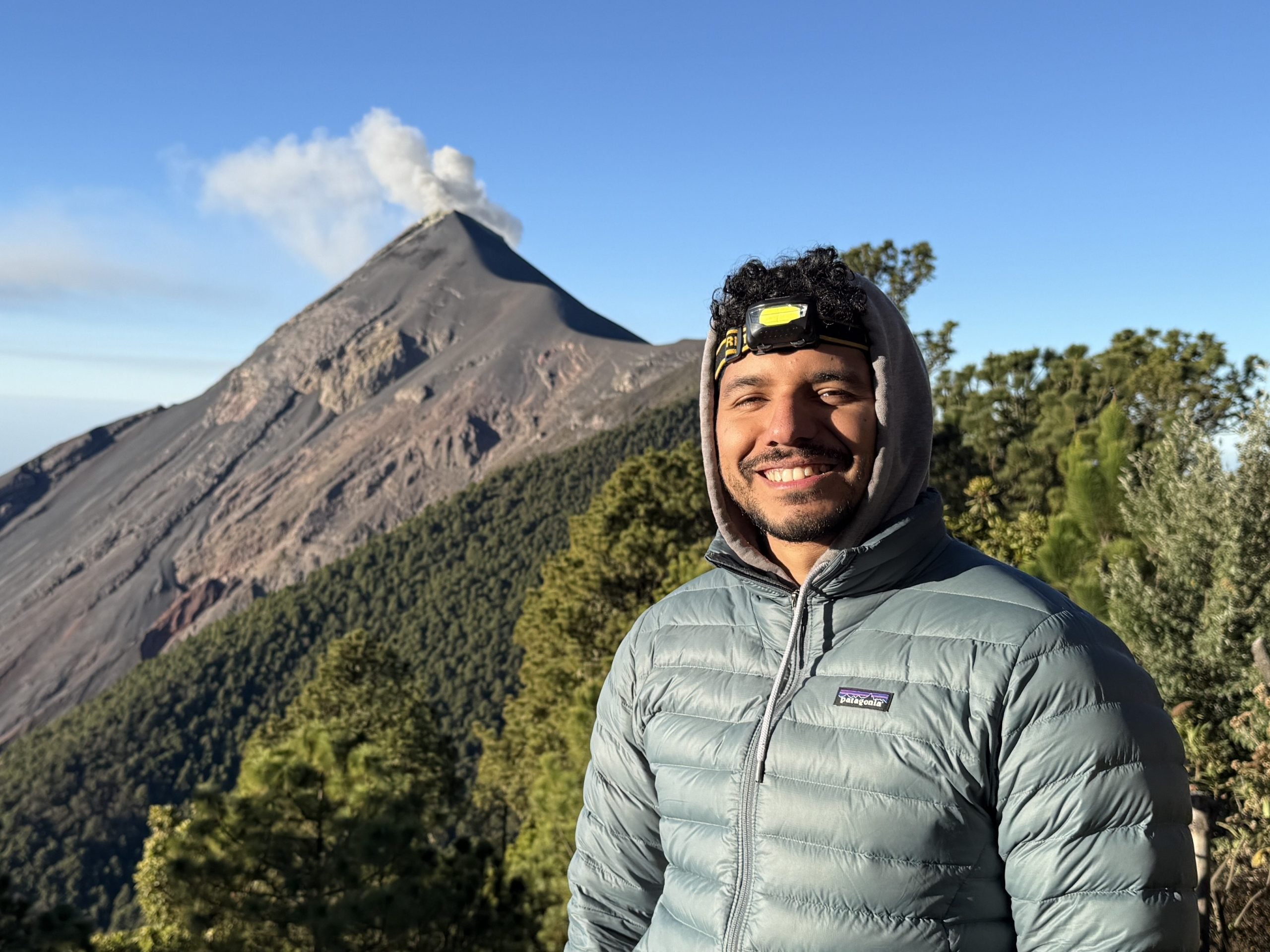
Discover how one Michigan Tech graduate leveraged international connections, hands-on fieldwork, and interdisciplinary learning to launch a career in natural hazards research. With skills in machine learning, project management, and collaboration with global agencies like INSIVUMEH, he is not just studying volcanoes—he is preparing to protect lives.
Here’s the lowdown from Gustavo Bejar-Lopez.
Q: What made you choose Michigan Tech and the GMES department?
A: I already knew about Michigan Tech during my undergraduate because a few of our professors back home in Ecuador (Yachay Tech) were Michigan Tech graduates. Eventually, when I was applying for grad school, I learned about research projects at GMES. One of these projects was the lahar project, led by Dr. Rudiger Escobar-Wolf, which involved extensive fieldwork —a task I had been eager to undertake.
Q: What was your favorite class or project in GMES?
A: I liked the Social Dimensions of Natural Hazards class because when I took it, the class was comprised of students with very different backgrounds and experiences with natural hazards. It was enriching to learn about these different perspectives on things I had not experienced myself.
Q: What’s next for you after graduation? (Job, grad school, travel, etc.)
A: Currently applying for postdoctoral research and teaching positions mostly aligned with natural hazards or environmental seismology.
Q: How do you hope to make a difference in the world with your degree?
A: While my work was related to the technical aspect of detecting and modeling hazards, it has important implications for the lives of people who are exposed to or affected by these hazards every day. I plan to continue developing new tools and expanding my knowledge of these geologic processes, thereby diversifying my expertise to include other types of hazards, beyond the focus of my PhD, which is lahars.
Q: What unique opportunities did you find at Michigan Tech that you might not have found elsewhere?
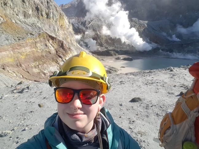
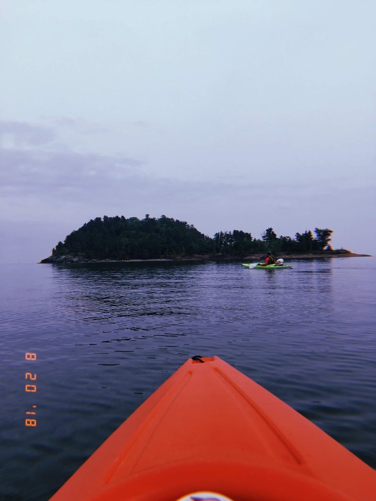
A: I was able to work in collaboration with other agencies, mainly INSIVUMEH (the local geophysical monitoring agency in Guatemala). This close collaboration enabled me to gain a deeper understanding of the work conducted in volcano observatories and establish a network with local scientists in Guatemala. Additionally, I was able to attend an international conference and participate in field experiences thanks to the funds provided by scholarships and grants available at Michigan Tech, such as the GSG Professional Development Travel Grant.
Q: What skills did you gain in the program that you’re already using (or excited to use)?
A: Before my PhD, I had very little knowledge about programming, mainly limited to MATLAB. While at Tech, I learned to use Python and develop machine learning methods using that platform, as well as analyze time series and perform signal processing. I had the chance to get my own research grant and learned to manage my own project, which expanded on the work on lahars in Guatemala.
Q: What advice would you give to incoming GMES students?
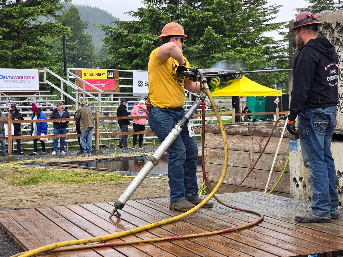
A: Take notes of all the opportunities available for you as a grad student. There is always a grant or scholarship available for which you can apply to conduct fieldwork or attend a conference. If you’re unsure where to find them, ask the professors or department staff for assistance. That, and bring warm clothes.
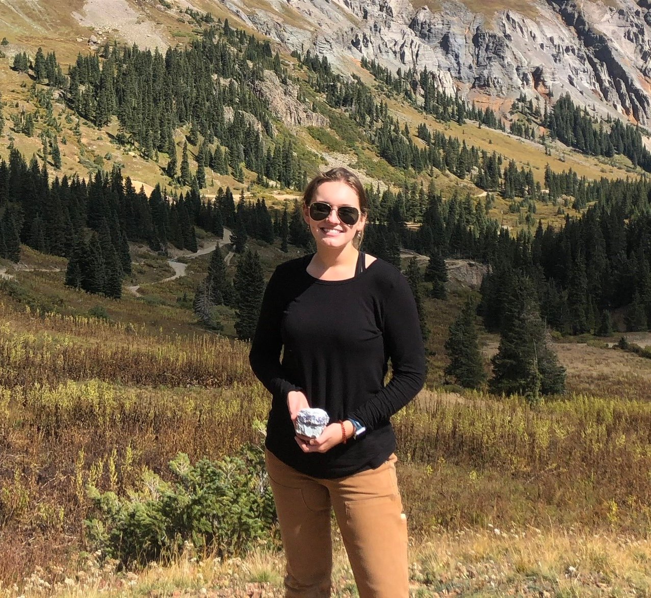
Mining Engineering MS graduate Poorva Kadrolli ’22 reflects on what drew her to Michigan Tech, the skills she’s proud to carry forward, and her advice for those just starting out.
Q: What made you choose Michigan Tech and the GMES department?
A: The Campus, research background, and a strong Alumni base. The curriculum and staff are also very impactful in building a successful career.
Q: What was your favorite class or project in GMES?
A: Python programming
“Access to a strong alumni base and library facilities.”
Q: What’s next for you after graduation? (Job, grad school, travel, etc.)
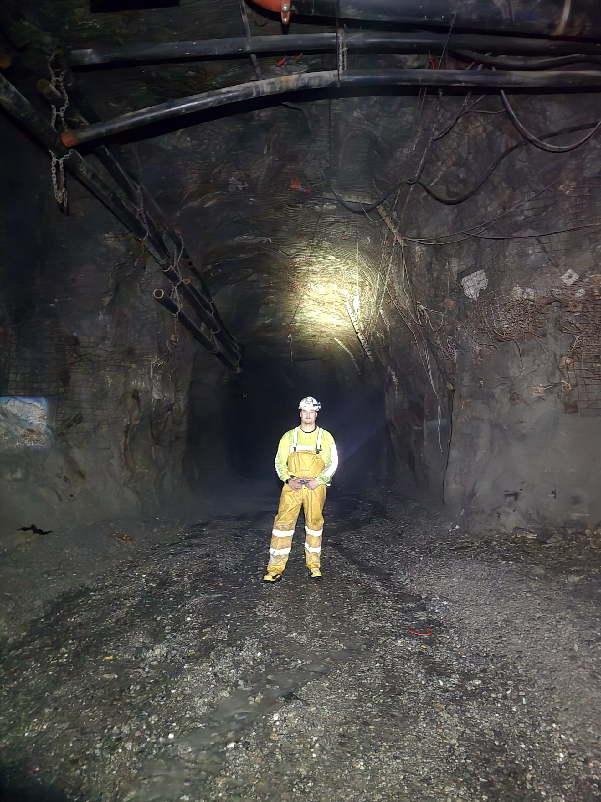
A: Currently working as a Mine Engineer in North America’s largest open pit mining operations.
Q: How do you hope to make a difference in the world with your degree?
A: We mine to make the world a better place for tomorrow.
Q: What unique opportunities did you find at Michigan Tech that you might not have found elsewhere?
A: Access to a strong alumni base and library facilities.
Q: What skills did you gain in the program that you’re already using (or excited to use)?
A: Confidence and self-independence are two crucial qualities that MTU taught me, in addition to my academic curriculum.
Q: What advice would you give to incoming GMES students?
A: Be brave to sustain in the cold and snowy weather.