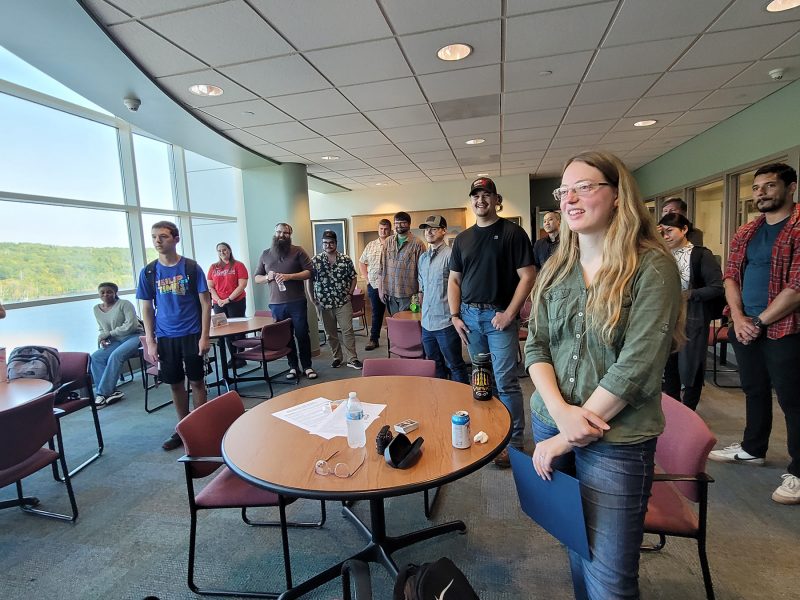
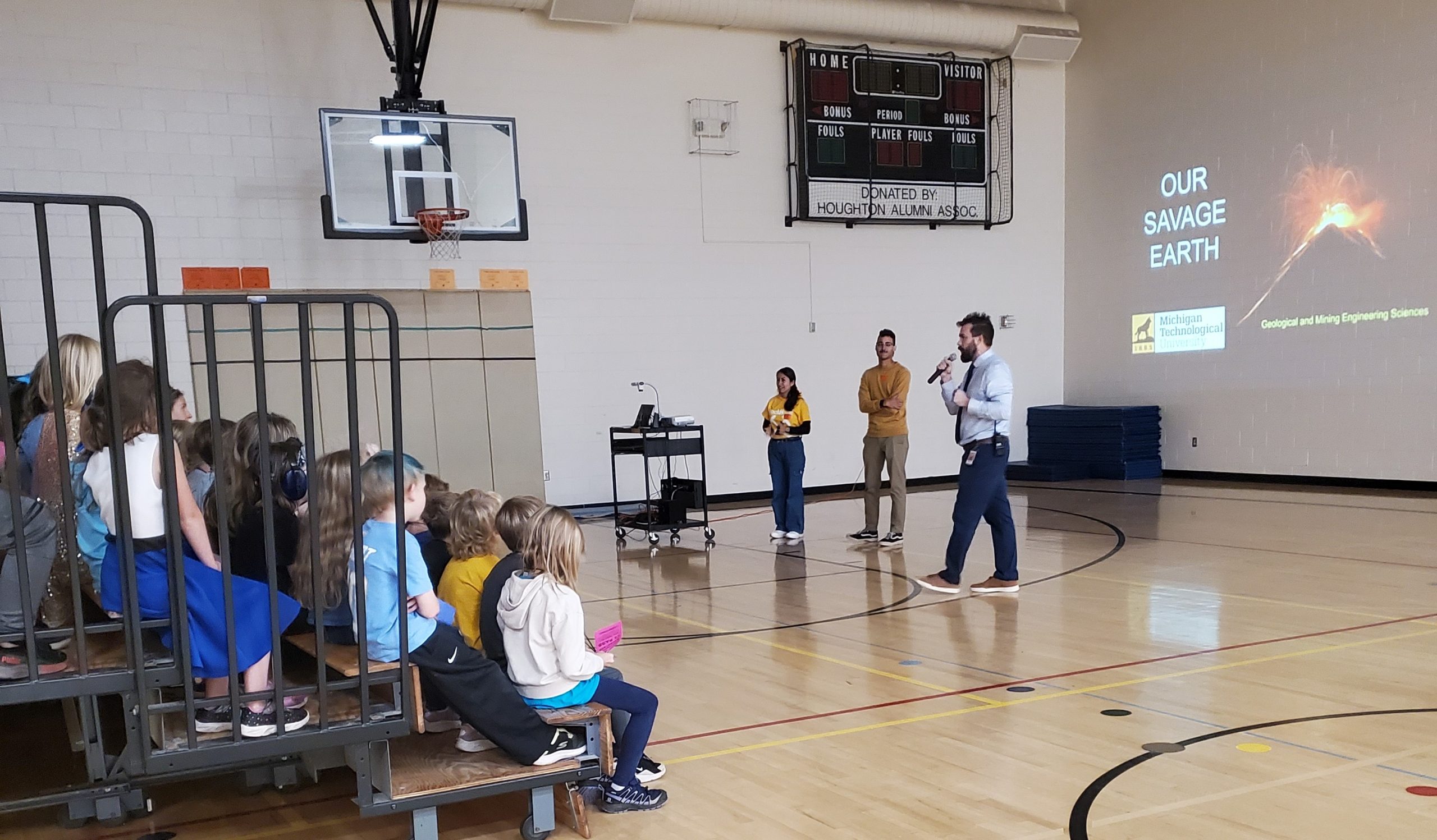
If you ever wondered what it looks like when curiosity, grit, and global collaboration converge, let us introduce you to Dr. Gustavo Bejar-Lopez. As of August 8, 2025, Gustavo completed his final defense under the supervision of Dr. Greg Waite, Dr. Rudiger Escobar Wolf, with Dr. Luke Bowman, Dr. Snehamoy Chatterjee, and Dr. Jeffrey Johnson (Boise State), serving as committee members.
As a child in Ecuador, Gustavo Bejar-Lopez watched the eruptions of Tungurahua with fascination. A curiosity that led him to Michigan Tech’s GMES program to study volcanic hazards.
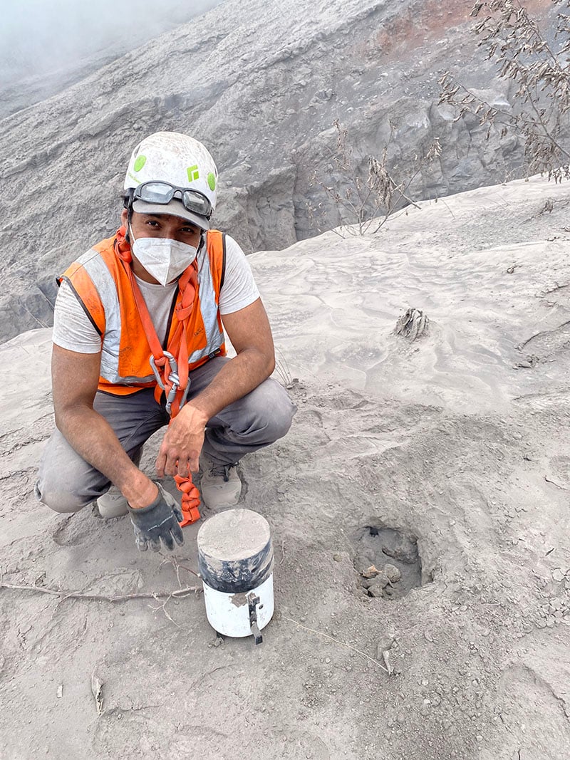
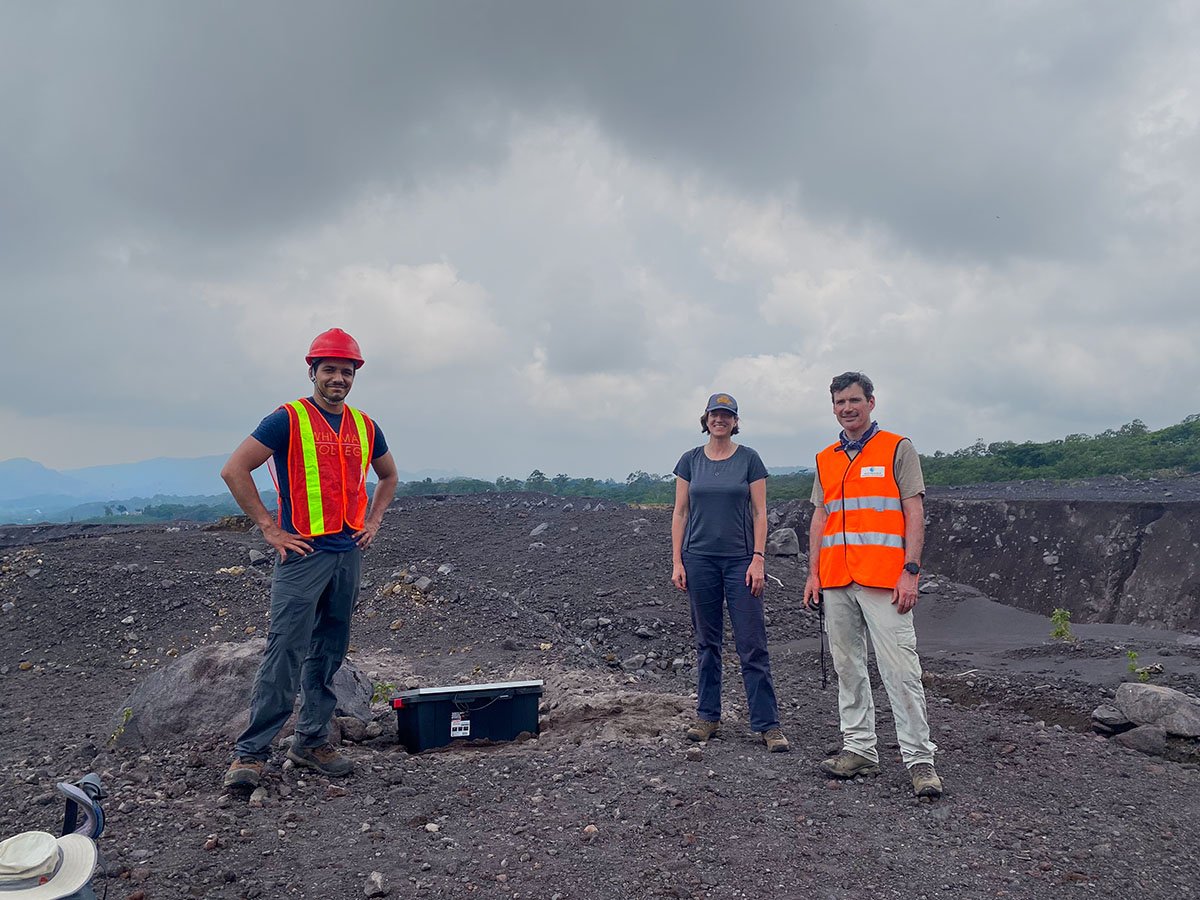
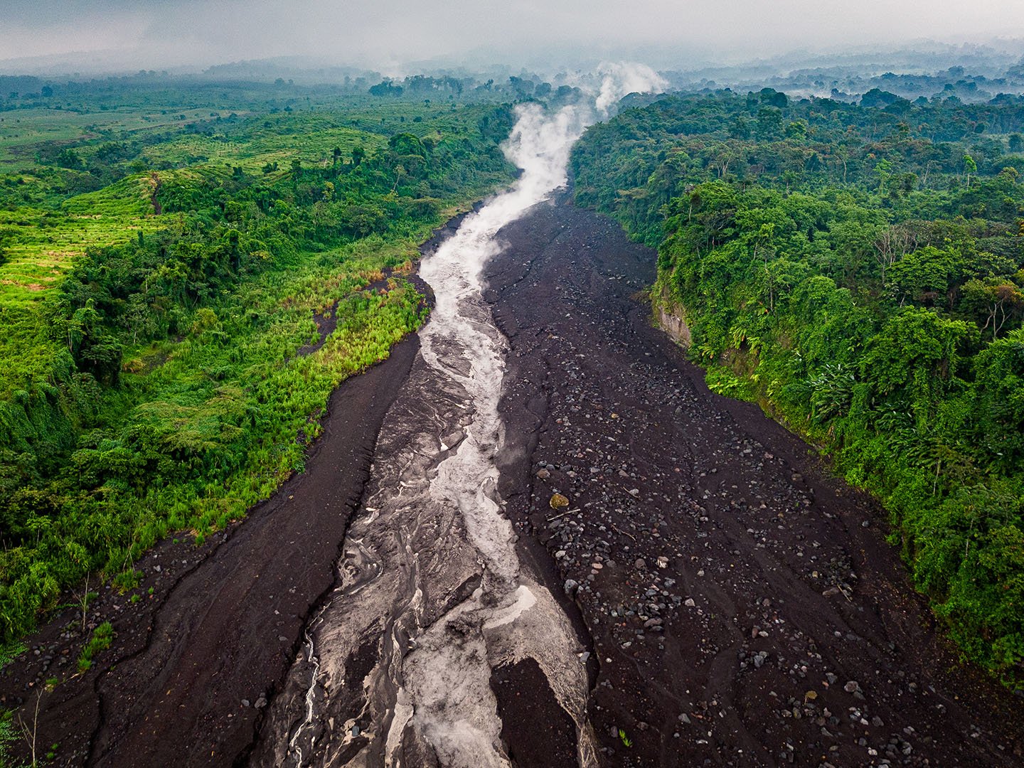
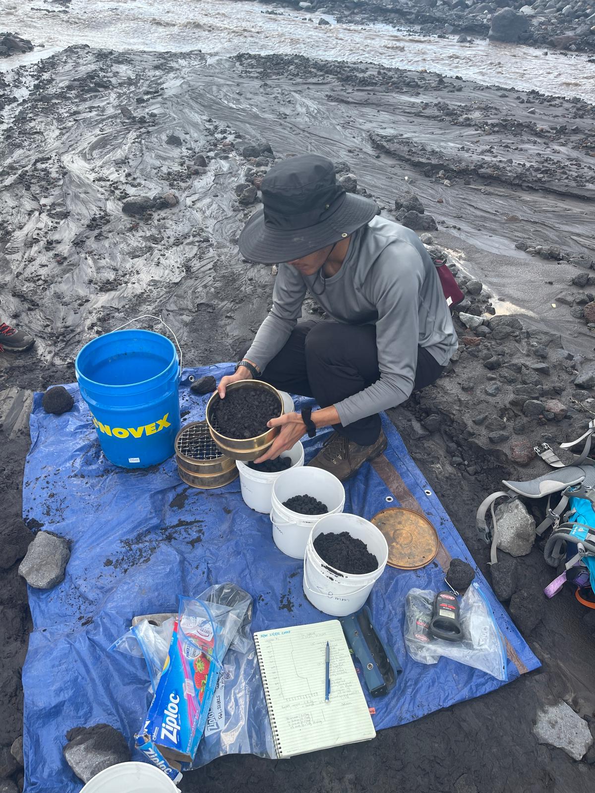
For his doctoral research, Gustavo focused on lahars, fast-moving volcanic mudflows, at Guatemala’s Volcán de Fuego. Using seismic monitoring, rainfall data, video observations, and computer models, he revealed how lahars generate distinct seismic signatures as they travel. He then developed a machine learning detection system to identify them in real time, improving early-warning potential for at-risk communities. His presentation title and abstract for the final Ph.D. research defense are listed below.
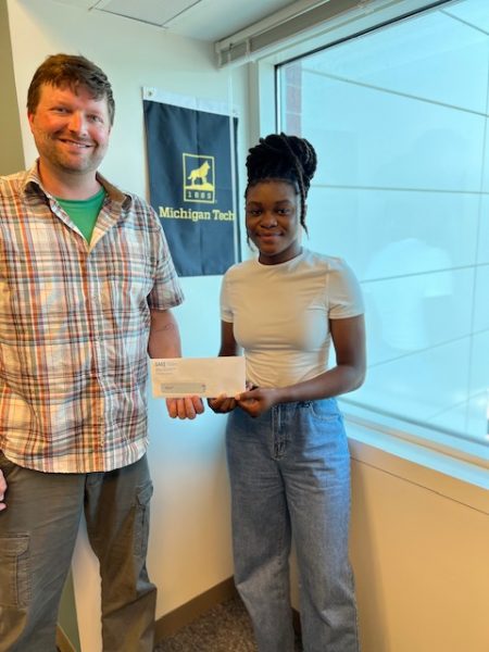
During his time at MTU, Gustavo earned the Outstanding Scholar Award, a Finishing Fellowship, and graduate certificates in Natural Hazards & Disaster Risk Reduction and Geoinformatics. He also won First Place in the 3MT competition and secured a National Geographic Explorer Grant to mentor students in the field. His work has been published in Scientific Reports through an NSF-funded collaboration on infrasound detection of lahars.
“While my work was related to the technical aspect of detecting and modeling hazards, it has important implications for the lives of people who are exposed to or affected by these hazards every day. I plan to continue developing new tools and expanding my knowledge of these geologic processes, thereby diversifying my expertise to include other types of hazards, beyond the focus of my PhD.”—Gustavo Bejar-Lopez
Dr. Bejar-Lopez’s story is more than an academic journey. It’s a testament to how one person’s passion can ripple through continents, classrooms, and communities. Whether facing volcanoes in Ecuador or Guatemala, his commitment remains the same: to bring knowledge, technology, and humanity together in the service of safety and resilience.
Congratulations, Dr. Gustavo Bejar-Lopez! Your dedication ensures that the communities living in the shadow of volcanoes are better prepared for the challenges they face.
Title: Water and Fuego: An Interdisciplinary Characterization of Lahar Activity on Volcán de Fuego, Guatemala
Abstract: Lahars are a type of volcanic hazard common in tropical stratovolcanoes. They occur when large amounts of water remobilize unconsolidated volcanic sediments, forming a mixture that flows violently downstream. In the case of Volcán de Fuego, Guatemala, lahars are mainly triggered by intense precipitation during the local rainy season. With dozens of these flows reported on Fuego during the rainy months, they pose a significant risk to people living near active lahar channels. This study aims to characterize critical aspects of lahar activity on Fuego using geophysical records, rainfall measurements, video observations, and computational simulations that help constrain the initiation and propagation mechanisms of these flows. This work shows that measured seismic energy increases and signal frequency content decreases while lahars move from proximal to distal areas of the volcano’s flanks. However, in the long term, seismic characteristics remain unchanged. This information supported the development of a machine learning-based framework to automatically detect lahar activity using geophysical monitoring. These results, combined with rainfall information, also allowed us to describe the control of precipitation on lahar activity. Statistically, rainfall at higher elevations is highly correlated with seismic parameters associated with flow size (e.g., cumulative power amplitude) farther downstream and least correlated with spectral characteristics of lahar signals (e.g., dominant frequencies), meaning rainfall alone is not sufficient to predict internal flow dynamics. This is consistent with a set of hydrologic outputs showing the significance that rainfall at higher elevations has in model accuracy. These results improve our knowledge of such ubiquitous types of volcanic processes and related hazards and can potentially be relevant for the development of mitigation strategies benefiting the communities around Fuego.


