Michigan Technological University’s Department of Geological and Mining Engineering and Sciences (GMES) is proud to recognize Helen Foldenauer, a 1st year MS Geology graduate student, as this year’s recipient of the Outstanding Teaching Assistant award for her exceptional work in the Mineral Science course.
Helen demonstrated a deep commitment to student learning. Her expertise in mineralogy, petrology, and geochemistry has been instrumental in guiding undergraduate students through the complexities of mineral identification, classification, and analysis.

A Strong Foundation in Geology
Before joining Michigan Tech, Foldenauer earned a Bachelor of Science in Earth and Environmental Science from the University of Michigan, where she also minored in chemistry. She later completed a Geographic Information Sciences (GIS) certificate at Western Michigan University, gaining expertise in geospatial analysis that complements her geological research interests. Her academic achievements include University Honors, the James B. Angell Scholar Award, and a nomination for the Feinberg Writing Award—all testaments to her dedication to excellence.
Foldenauer’s research interests center on solid Earth geochemistry, geochronology, igneous activity and monitoring, and natural hazards. Her passion for geoscience education has translated directly into her work as a teaching assistant, where she has been praised for her ability to clearly explain complex mineral science concepts and engage students in hands-on learning.
From Field to Lab: Applying Expertise in Mineral Science
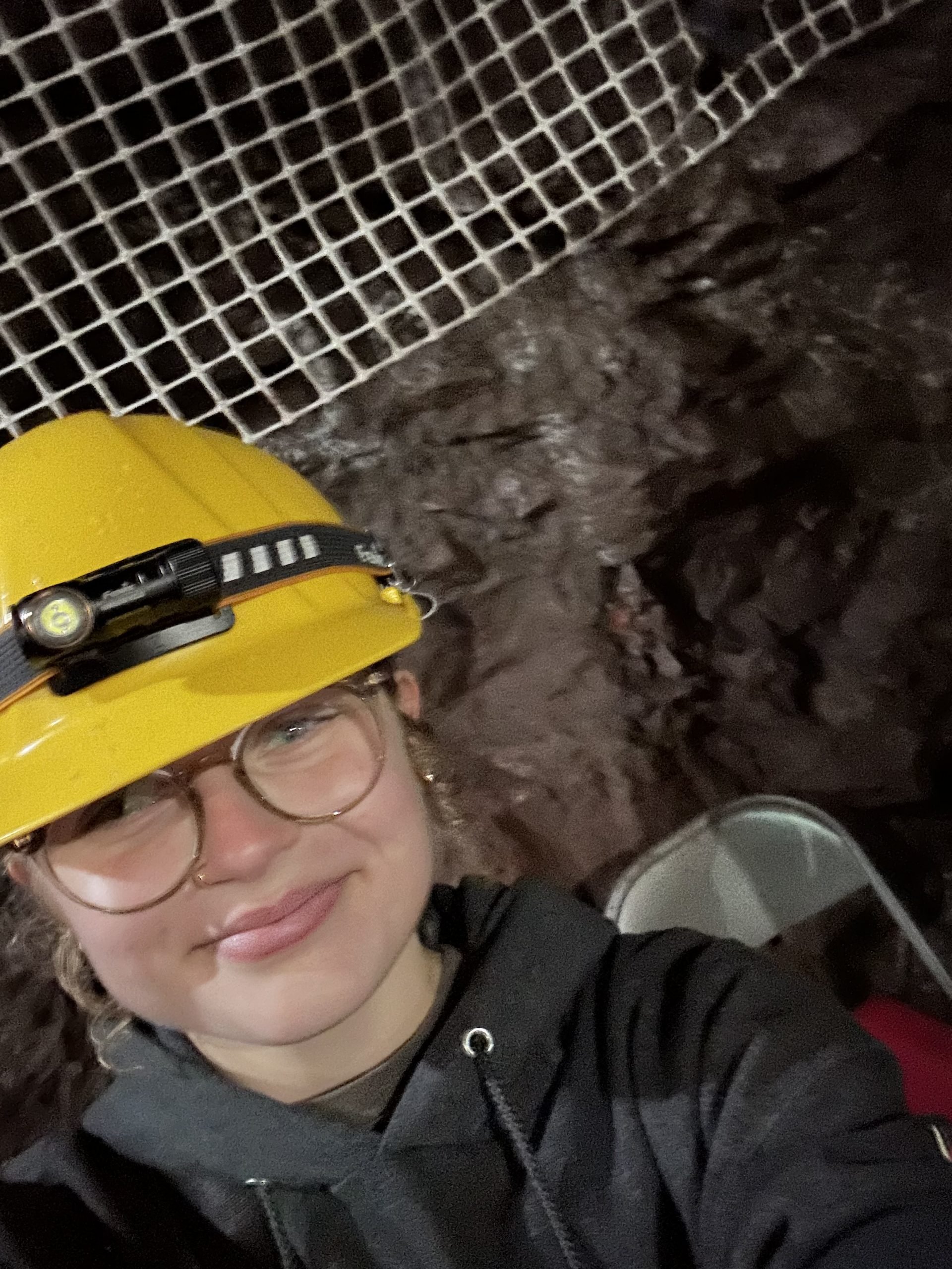
With prior experience as a field and laboratory technician at the Kellogg Biological Station, Foldenauer has developed strong analytical skills, including petrographic microscopy, elemental analysis, and standardized lab protocols. Her background in both fieldwork and laboratory research has made her an invaluable resource in the Mineral Science course, where she has helped students connect theoretical knowledge with real-world geological applications.

Foldenauer’s ability to mentor students, her enthusiasm for teaching, and her dedication to fostering a supportive and engaging learning environment set her apart as an exemplary TA. Faculty and students alike recognize her patience, clarity in instruction, and hands-on approach as key factors in enhancing the classroom experience.
A Passion for Teaching
As she continues her graduate studies at Michigan Tech, Foldenauer remains committed to scientific research and student mentorship. Her future goals include furthering her work in mineral chemistry and geochemistry, with aspirations to contribute to geoscience education and field-based research. Helen says, “One of the things I enjoyed most about TAing mineralogy was seeing the students work together to build a solid understanding of the material and how it connected to larger concepts in geology. When I was offered the TA position, I was excited to have the opportunity to lead a classroom and determine if teaching was a career in which I had any potential.”
Congratulations to Helen Foldenauer on this well-deserved recognition! Her dedication to mineral science education and student success truly exemplifies the excellence of Michigan Tech’s GMES department.