The construction of any large infrastructure project requires a strong foundation, especially one with the longest main span of any cable-stayed bridge in North America—namely, the Gordie Howe International Bridge over the Detroit River. More than a decade before ground was broken, careful siting of the bridge began to take place. By 2006 the list of possible crossings had been narrowed down to just two options.
Historical records from the early 1900s indicated that solution mining for salt had taken place on both sides of the river close to where the bridge was to be built. On the Michigan side, collapsed salt cavities caused sink holes located on nearby Grosse Isle. It was imperative that any salt cavities in the bridge construction area be found and avoided.
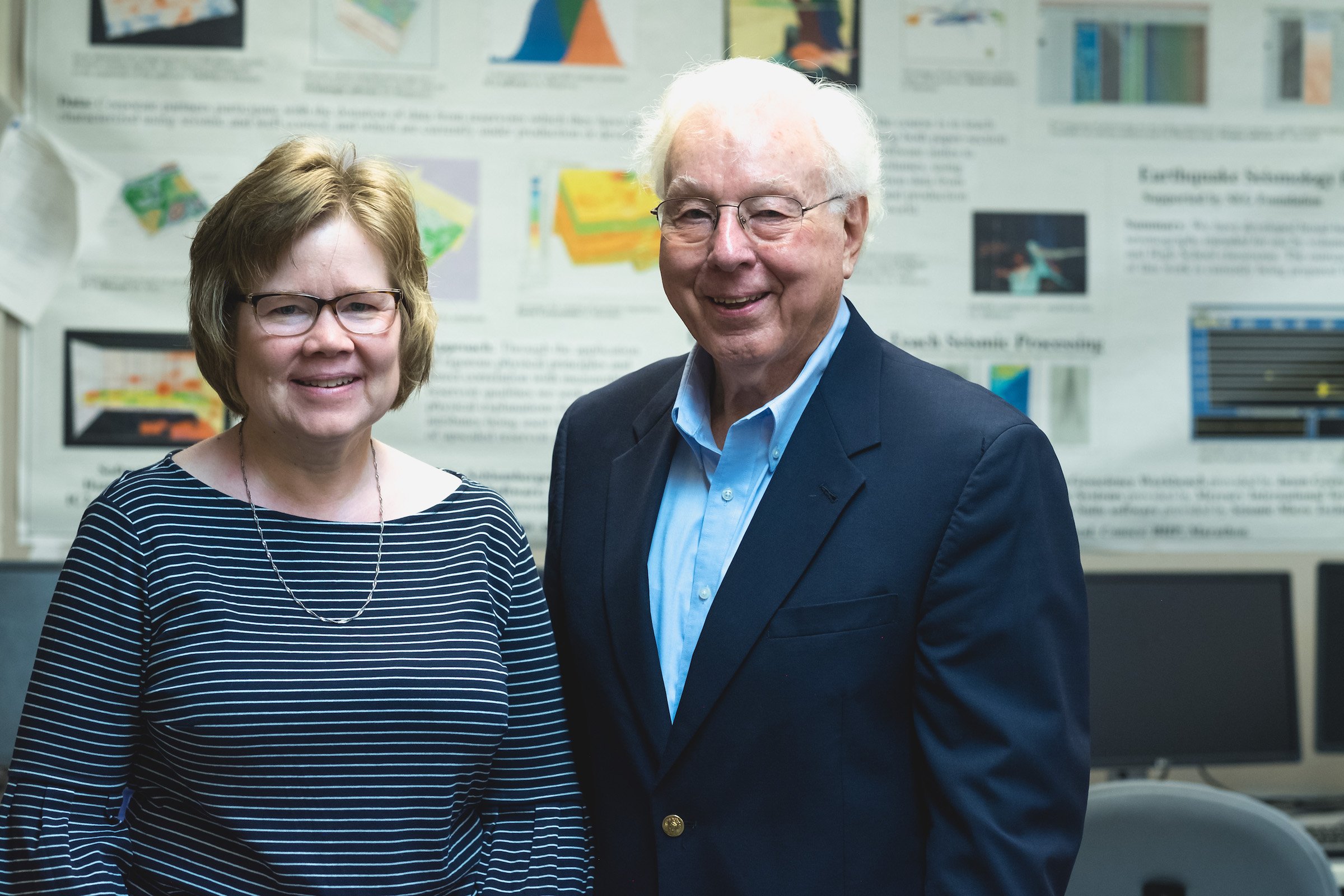
Seismologists Roger Turpening and Carol Asiala at Michigan Technological University were tasked by American and Canadian bridge contractors to select the best seismic method for searching for any cavities in the two proposed crossings—referred to at the time as “Crossing B” and “Crossing C”—and to interpret all resulting seismic images.
“Given the task to image a small target deep in the Earth, a seismologist will quickly ask two important questions: How small is ‘small?’ and How deep is ‘deep’? That’s because these two parameters conflict in seismic imaging,“ Turpening says.
“Seismic waves—vibrations of the Earth—are attenuated severely as they propagate through the Earth,” he explains. “Imaging small targets requires the use of high-frequency, seismic energy. When seismic sources and receivers are confined to the Earth’s surface, which is the usual case, waves must propagate downward through the Earth, reflect off of the target, and return to the surface. Soil, sand, and gravel in the surface layer overwhelmingly cause the greatest harm to image resolution, and the ray paths must pass through this zone twice.”
Turpening was one of the early developers of a technique called vertical seismic profiling, or VSP. “Seismic receivers are placed inside a vertical hole near the target. With the seismic source placed on the surface some distance from the hole, it’s possible to explore a region around the hole with ray paths that need to pass through the surface layer only once,” he says. “If the target is very important, we can drill a second hole and place the seismic source in it. Now we have even higher resolution because all of the ray paths are in the rock formations with low attenuation.”
The downside? “We can only make images of the region between the two holes. But if the target is extremely important in a limited area, we can use many boreholes and many images in the search. Given enough boreholes, a block of earth can be imaged with cross-well seismic reflection techniques.
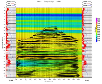
To site the Gordon Howie bridge, Turpening and Asiala chose a frequency band of 100Hz to 2 KHz—much higher than could be used with surface sources and surface receivers—for surveys on both sides of the river. This yielded high resolution seismic images, crucial for detecting cavities—and indeed they found one—on the Canadian side.
“The high-resolution imaging made it easy for us to spot missing shale stringers in the B-Salt layer in that image,” says Turpening. “This made the final selection of the bridge location simple. We found the cavity between boreholes X11-3 and X11-4, thus forcing the Canadians to chose Crossing B. Obviously, the Michigan group had to, also, choose Crossing B.”
On the US side of the river geologist Jimmie Diehl, Michigan Tech professor emeritus, provided corroborating borehole gravity data.