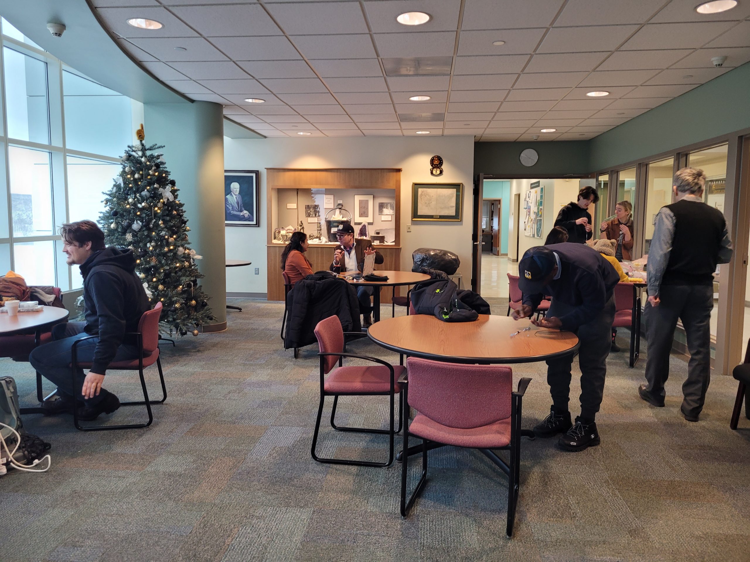
Michigan Tech students gain insight into geoscience careers and programs, experience engaging field trips to the Keweenaw Peninsula, and build connections with department faculty and resources in the Geo Engineering & Science Orientation (GE1100) lab. Discover the fascinating geological features Kylie enjoyed learning about, and explore our list of current undergraduate and graduate courses the GMES Department offers.
More about GE1100 – GE1100 is a one-credit introductory course for freshmen or sophomores in geoscience-related majors in the fall.
- What majors require it? Geology, Applied Geophysics, Geological Engineering, Mining Engineering
- How many credits? 1
- Semesters offered? Fall
- Prereqs? None
- Must be enrolled in one of the following Major(s): Geological Engineering, General Sciences and Arts, General Engineering, Mining Engineering, Applied Geophysics, Geology
- May not be enrolled in one of the following Class(es): Junior, Senior
Catalog Description: Introduction to geosciences as a profession, including discussions of career opportunities and geoscience programs. Earth materials and the Earth’s processes are also introduced. Includes frequent field trips. Intended for freshman or sophomore students in geological engineering, geology, applied geophysics, hydrology, geotechnics, earth science teaching, or any other geoscience program.
The instructor is Aleksey Smirnov, Chair, GMES.
TA for Fall 2024 is Sam Jensen, BS Applied Geophysics ‘25
Hometown: Gladstone, Michigan
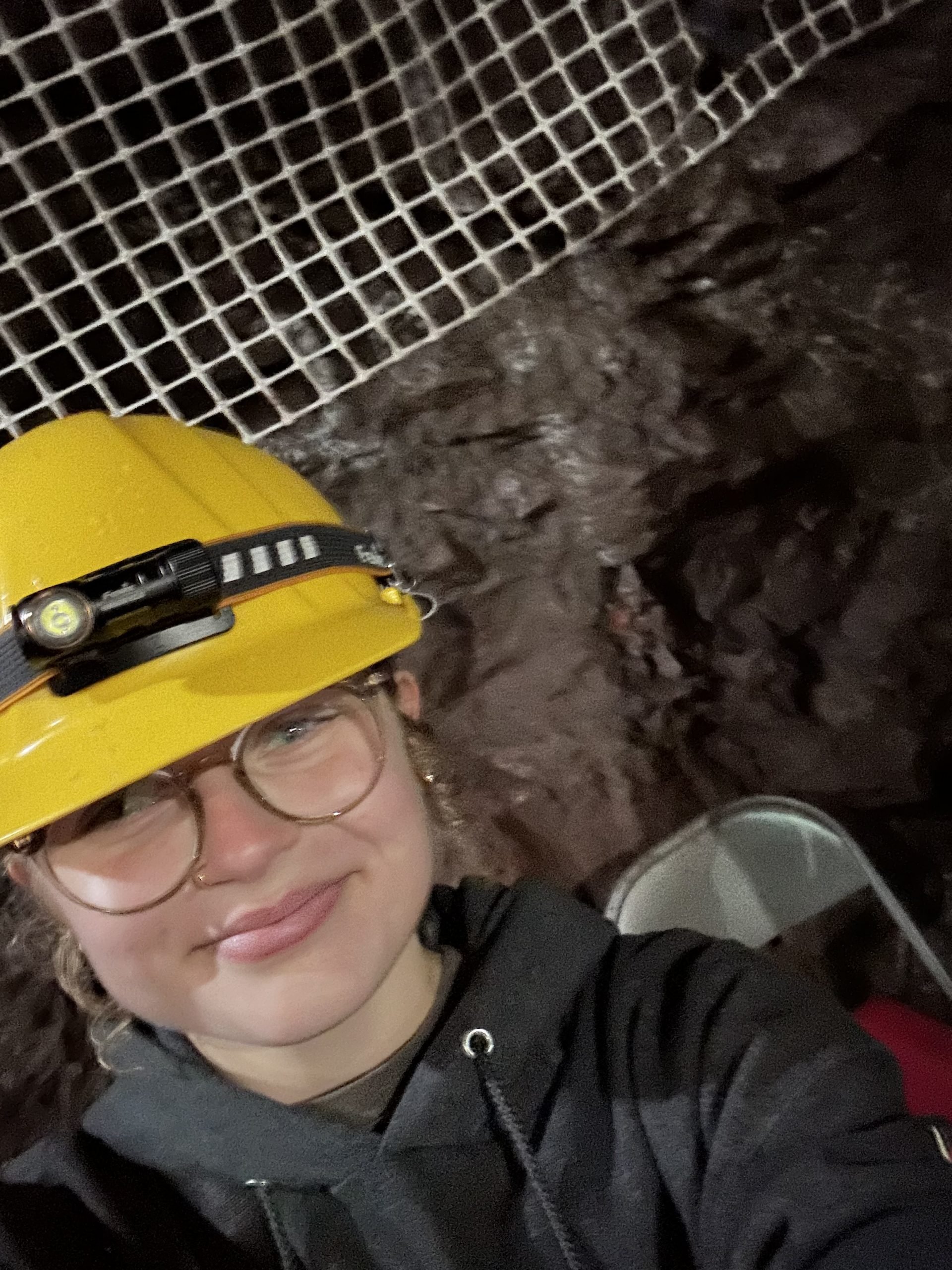
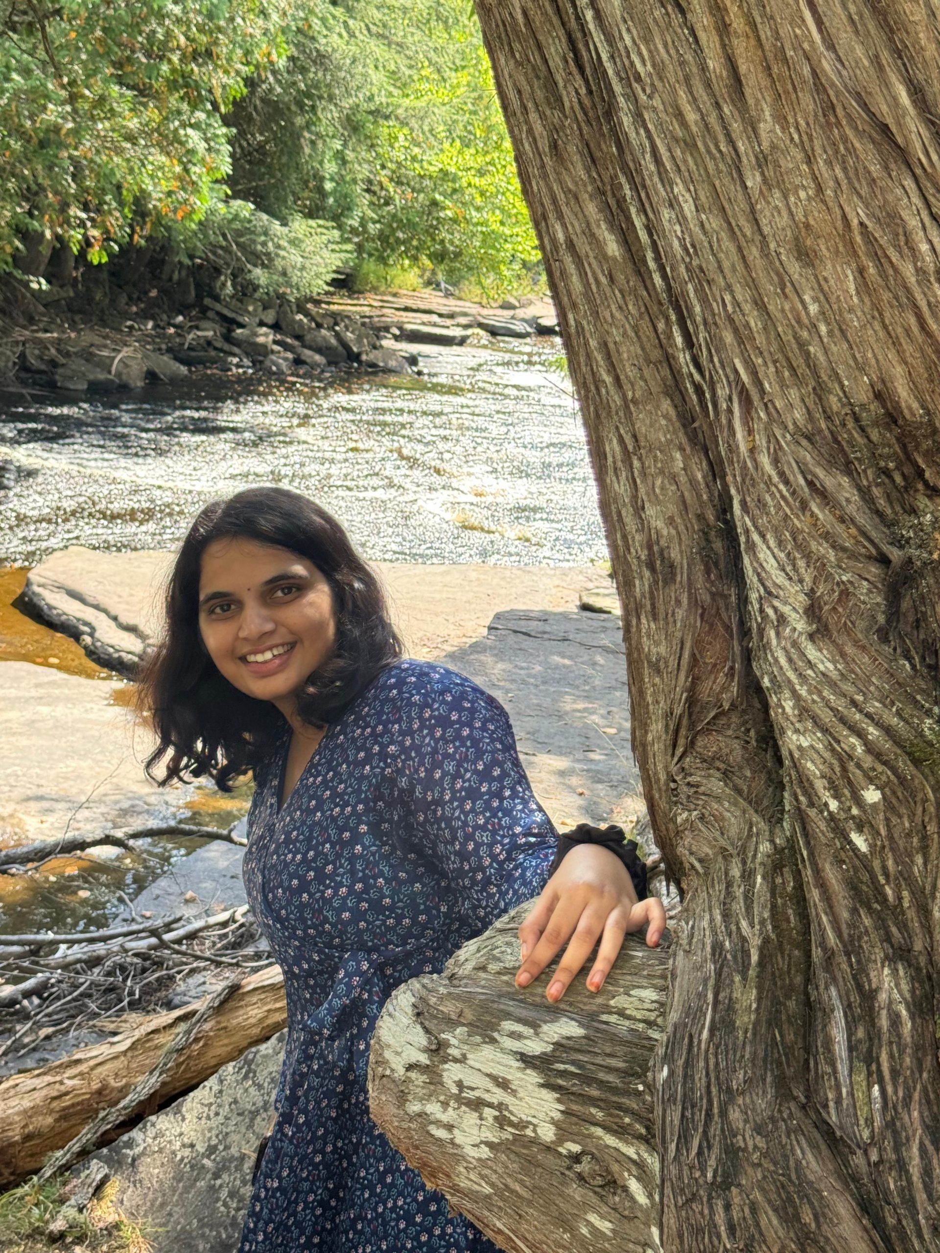
Find out what Kylie Overly had to say about her class experience:
This class does a great job of introducing the department and some local places to incoming students.
Would You Recommend This Class?
Yes! I recommend this class to other students if they are curious about geological engineering or the department.
Favorite Aspect of the Class:
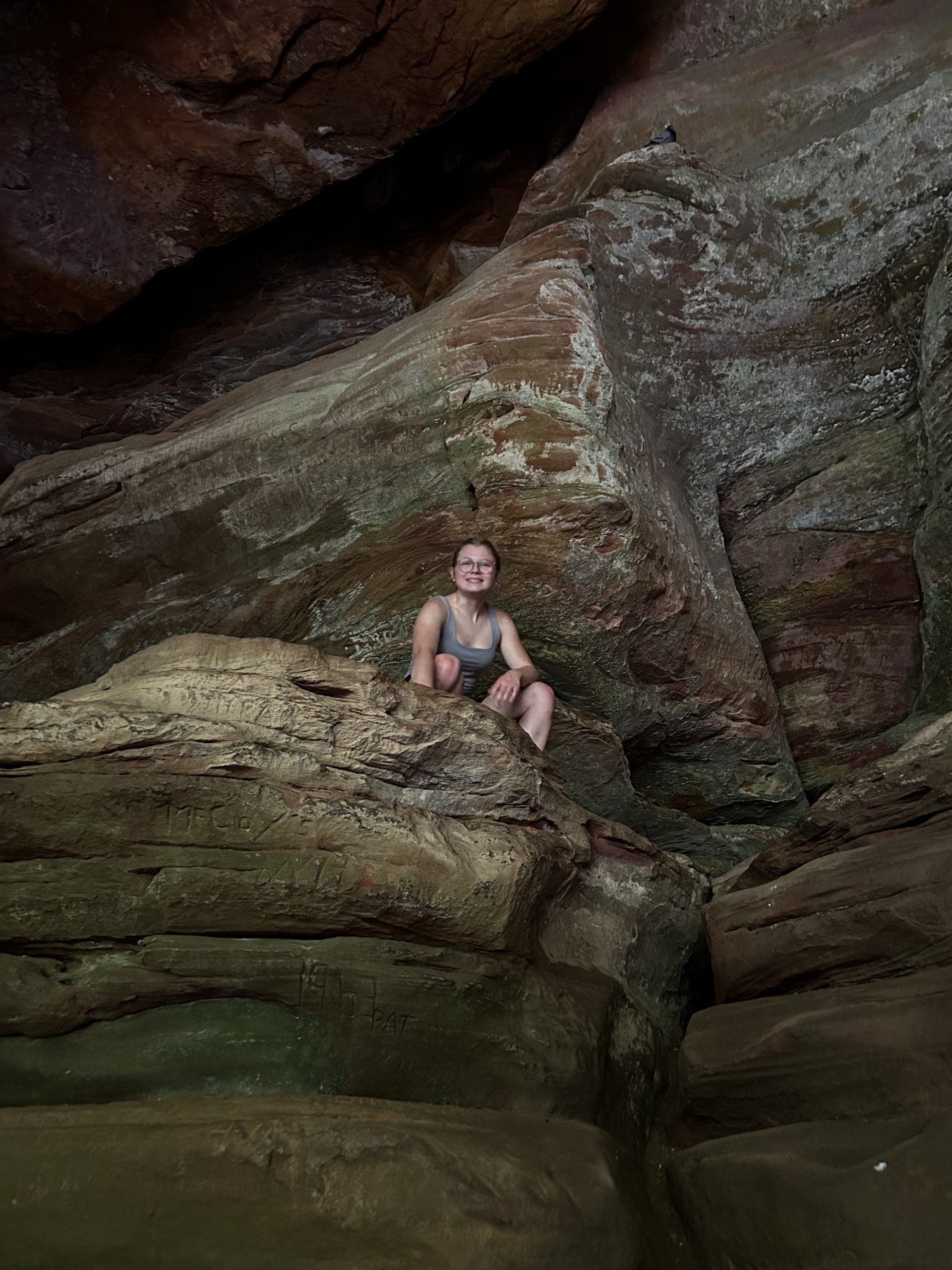
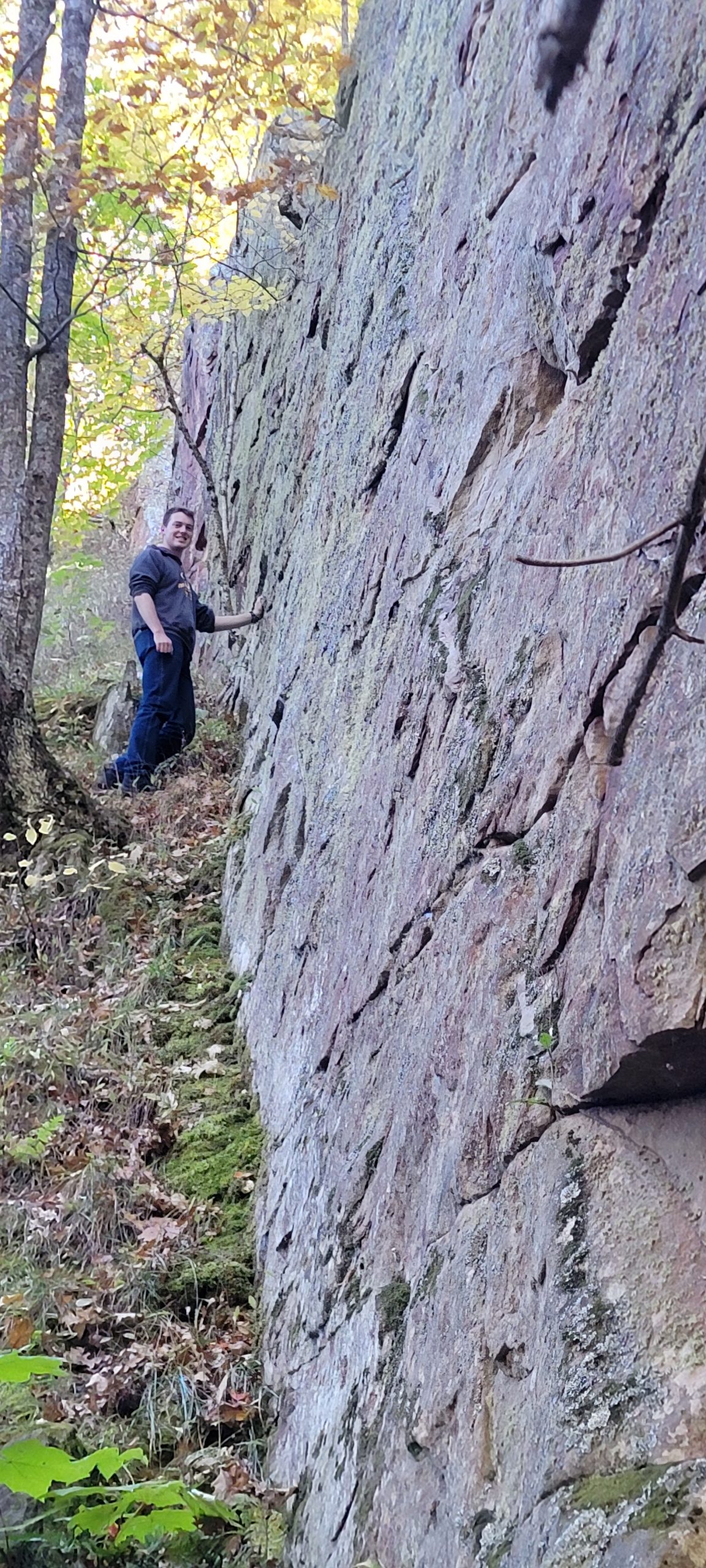
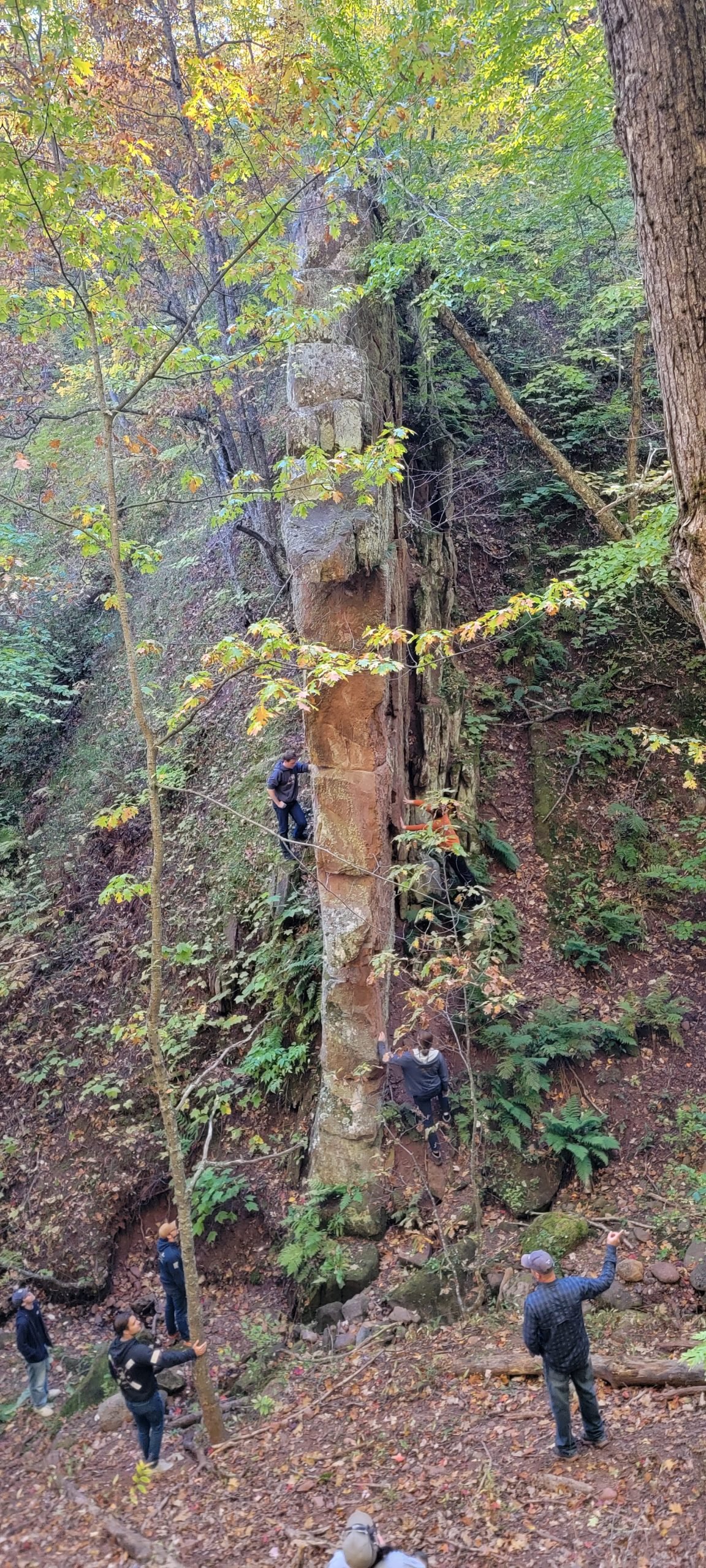
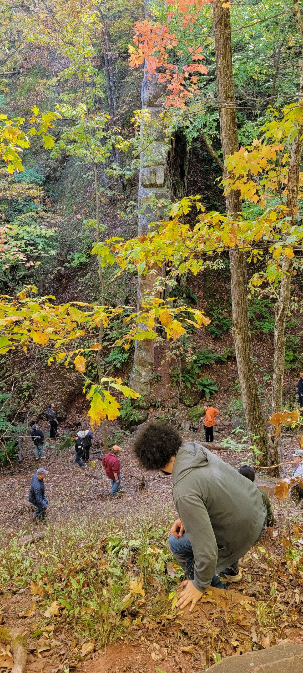
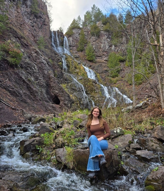
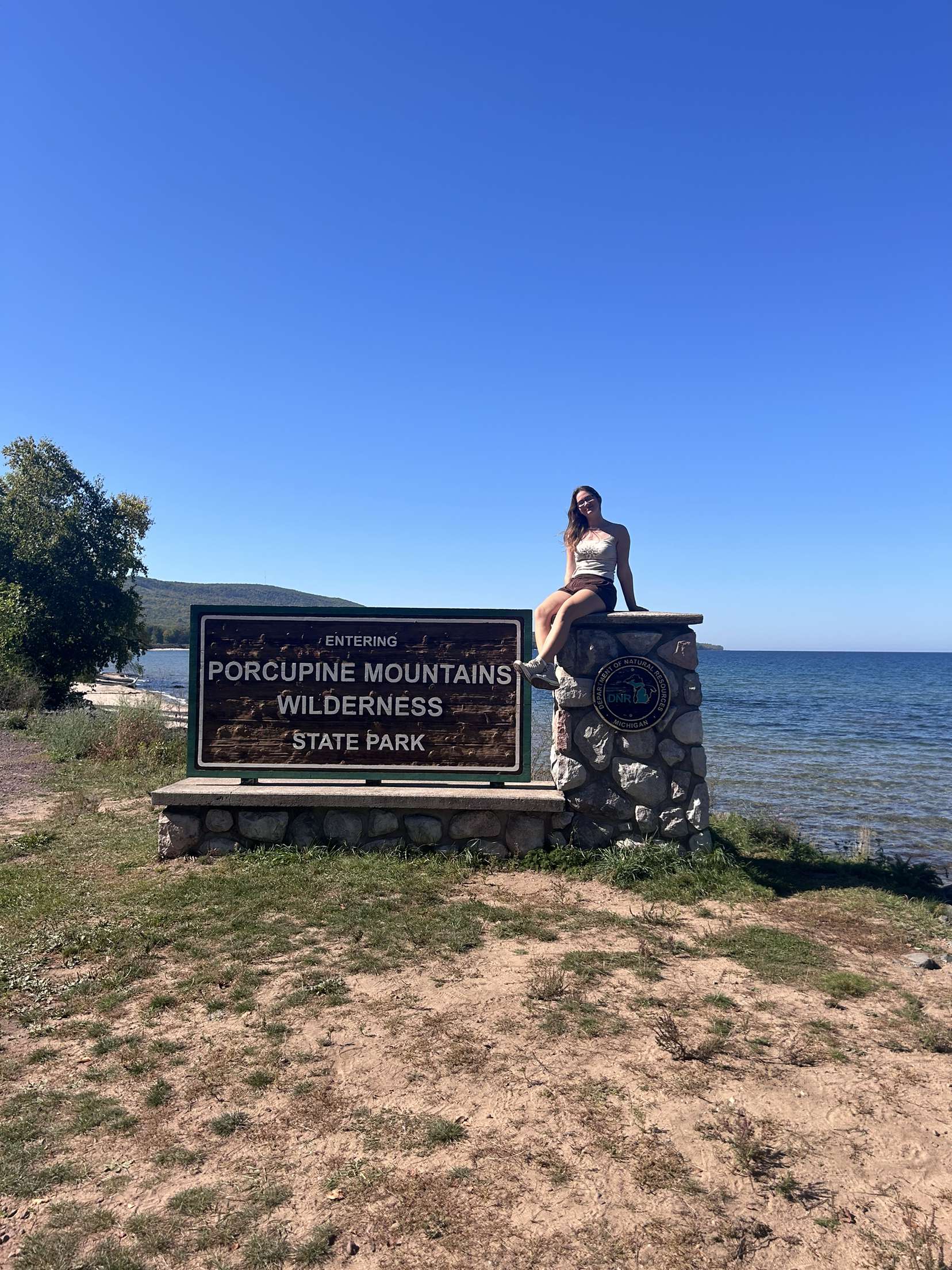
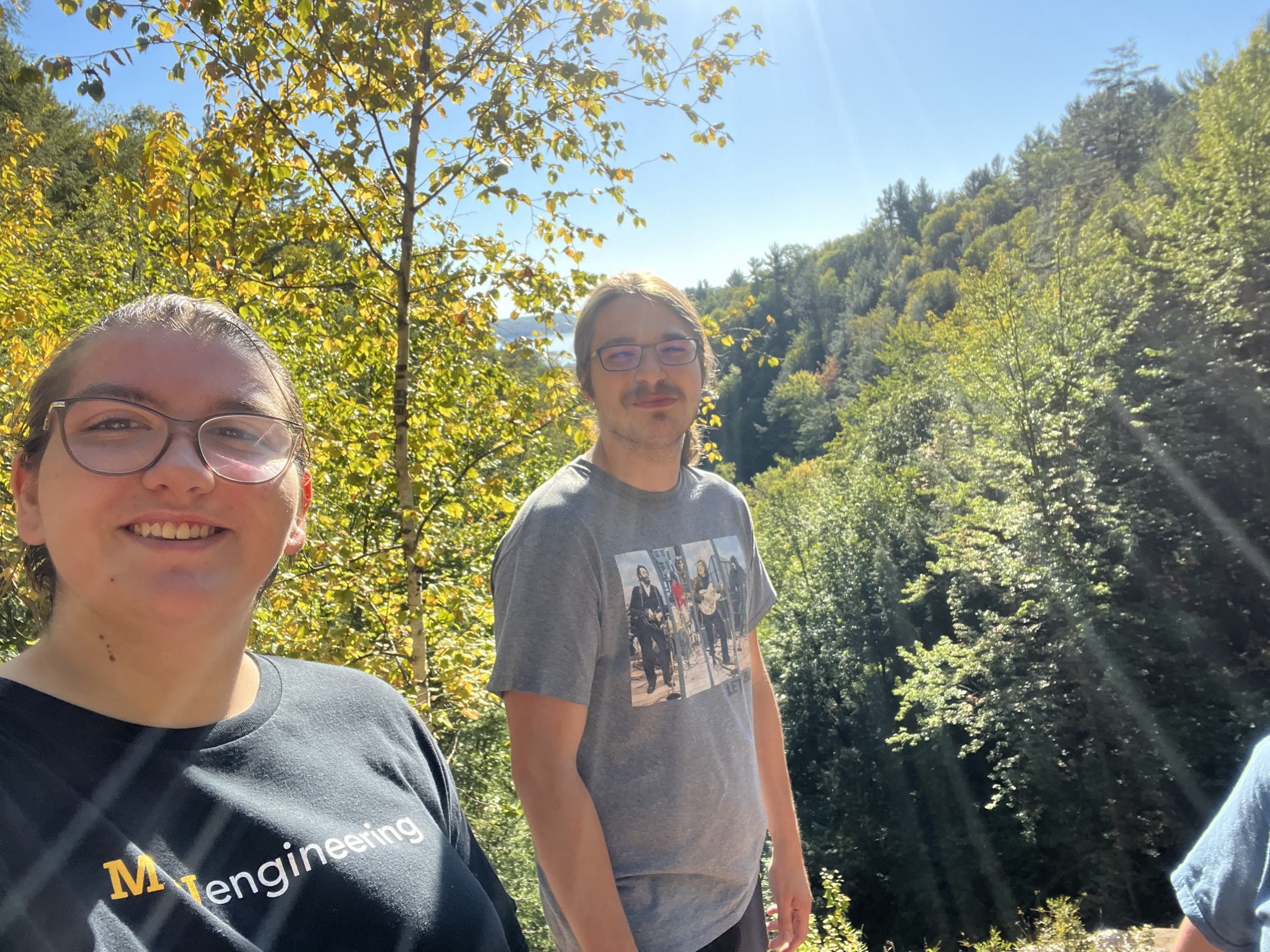
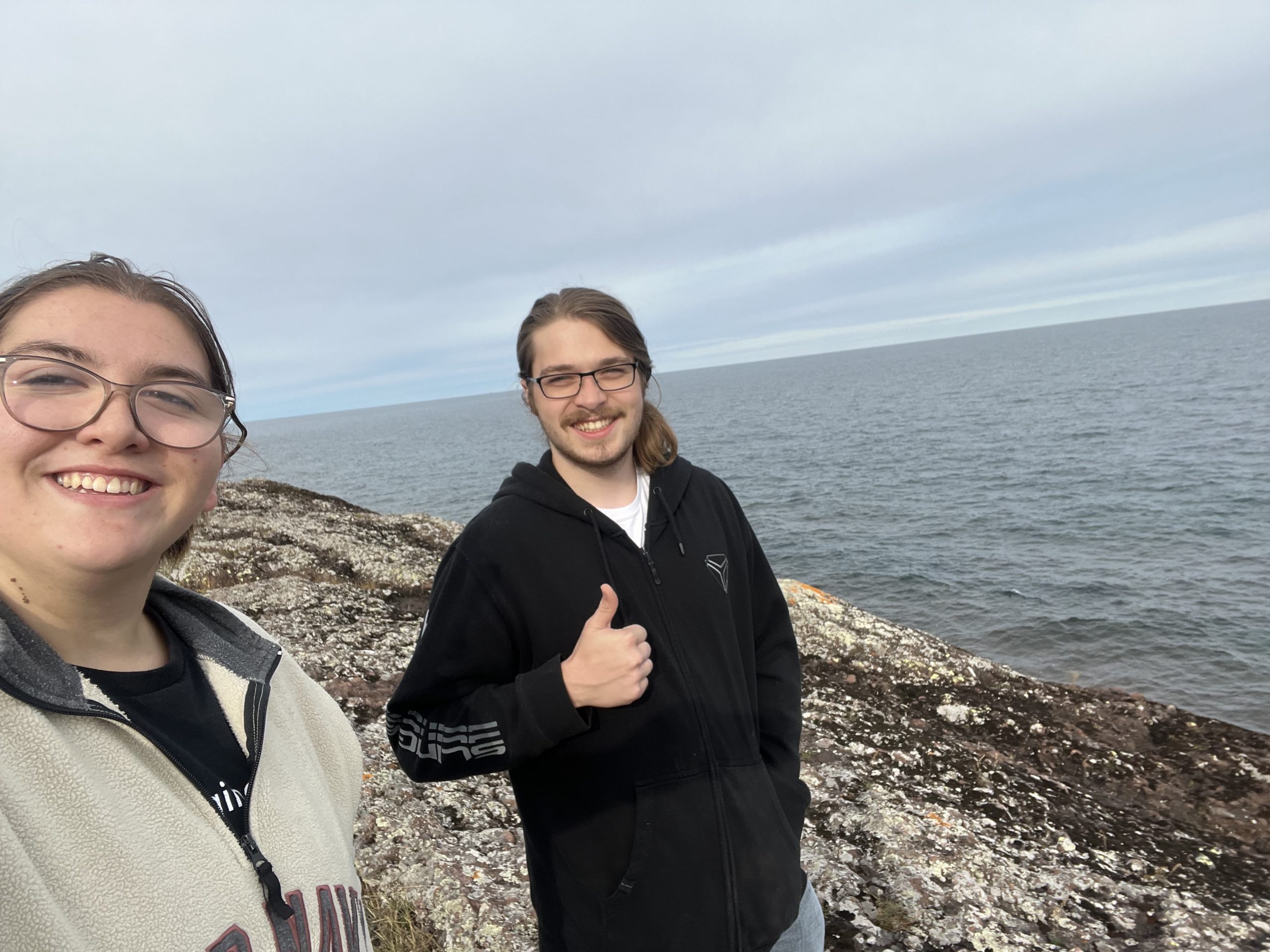
I liked the Saturday field trips to explore some fantastic spots in the Keweenaw Peninsula.
Most Exciting Thing Learned:
The most exciting thing I learned in this class was how the peninsula’s geology is mirrored on the other side of Lake Superior.
Prerequisites Needed?
None. Since it’s an introductory class, no prior knowledge is required.
Value of the Class:
I learn something new in each class!
Future Benefits:
This class is highly beneficial. The Wednesday lectures introduce us to the department’s professors, giving us opportunities to talk to them if you are interested in that subject.
National Park Service Resources:
https://www.nps.gov/piro/learn/nature/lake-superior.htm
https://www.nps.gov/isro/learn/nature/geology-and-soils.htm