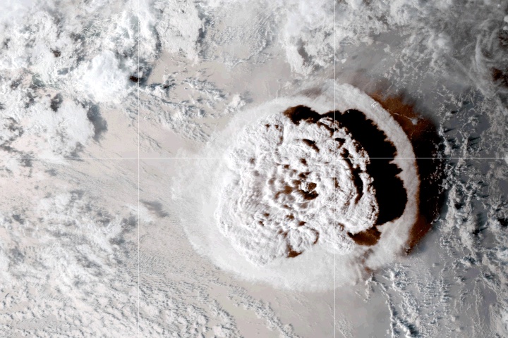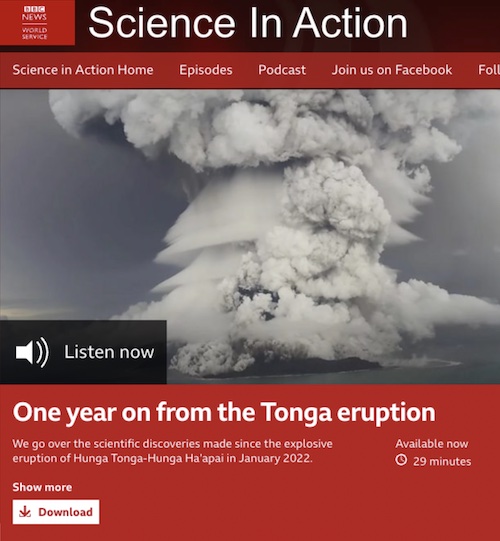
Simon Carn (GMES) was a guest on a BBC Science In Action podcast episode on January 5, 2023, titled “One year on from the Tonga eruption.”
The episode discussed what made the January 2022 eruption of the Hunga Tonga-Hunga Ha’apai volcano so powerful and unpacked its long-lasting impacts.
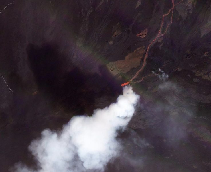
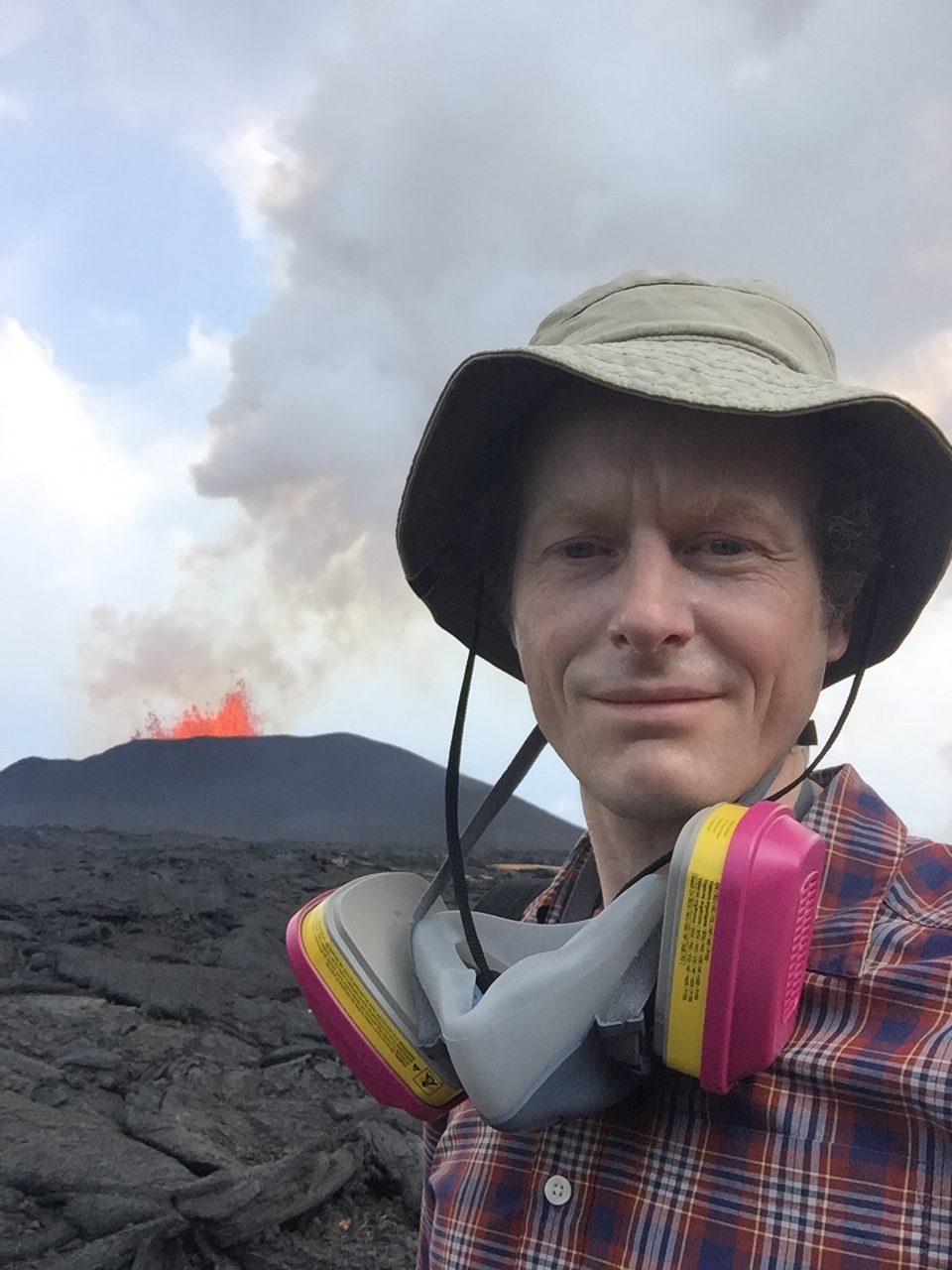
“Amongst all the material ejected by Hunga Tonga was a huge amount of water. The massive water vapour cloud is still present in our atmosphere, as Professor Simon Carn from the Michigan Technological University tells us.”